screens capture eye spies-
beautiful scenes download to
heart memory storage
download by Angie Quantrell
Marymere Falls, Olympic Peninsula

screens capture eye spies-
beautiful scenes download to
heart memory storage
download by Angie Quantrell
Marymere Falls, Olympic Peninsula

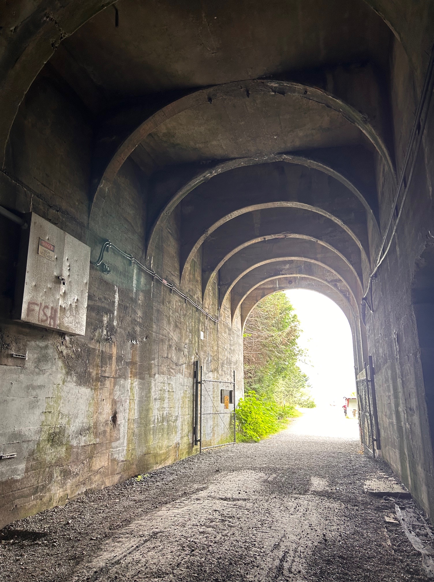
We headed out for a cool walk/hike last weekend. Located at the top of Snoqualmie Pass just off of I-90, the Snoqualmie Tunnel is an old railroad tunnel that stretches about 2 miles one way. The distance is not the same as other places I looked, but let’s just say 2-ish tunnel miles to get to the other end. If you want to get back to your car, then 2-ish tunnel miles to get back. LOL

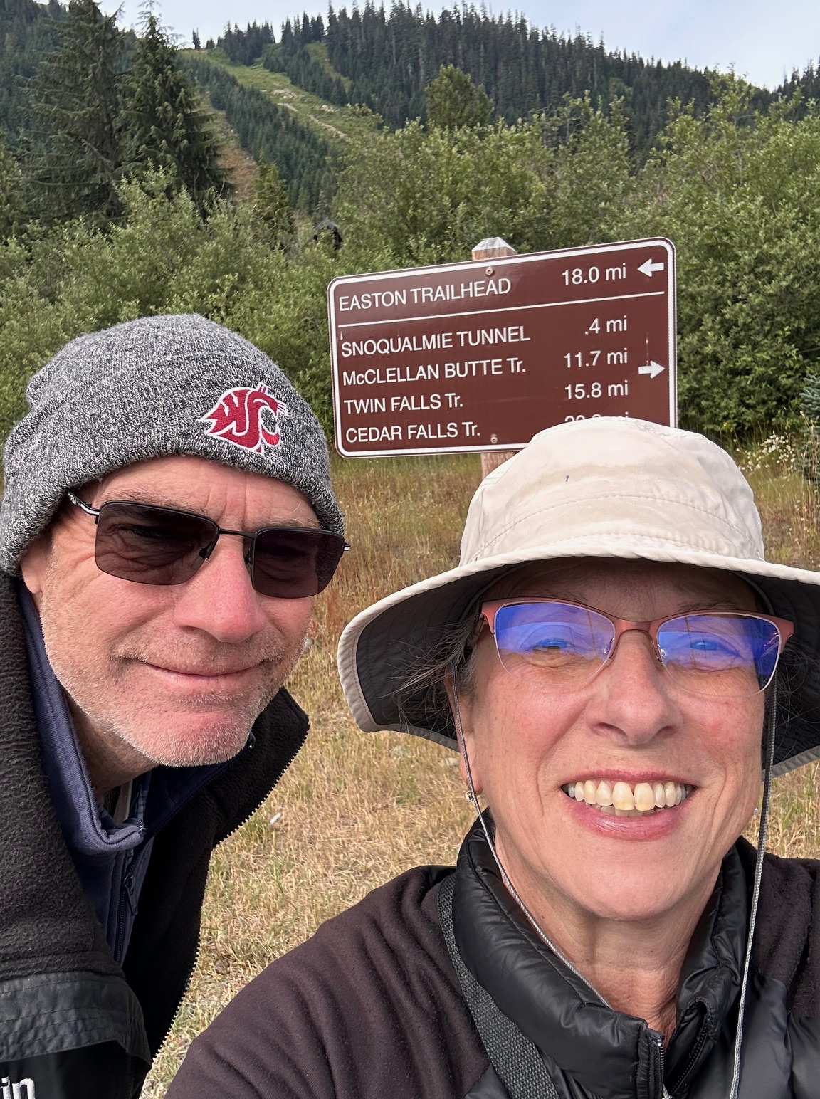
Take the Hyak exit and follow the signs to the large parking area. Restrooms are available. The parking lot sits next to the Palouse to Cascades Trail, so if you don’t want to walk in the cold damp dark, you can head east and walk along the backside of Keechelus Lake (which is very low this year due to drought).
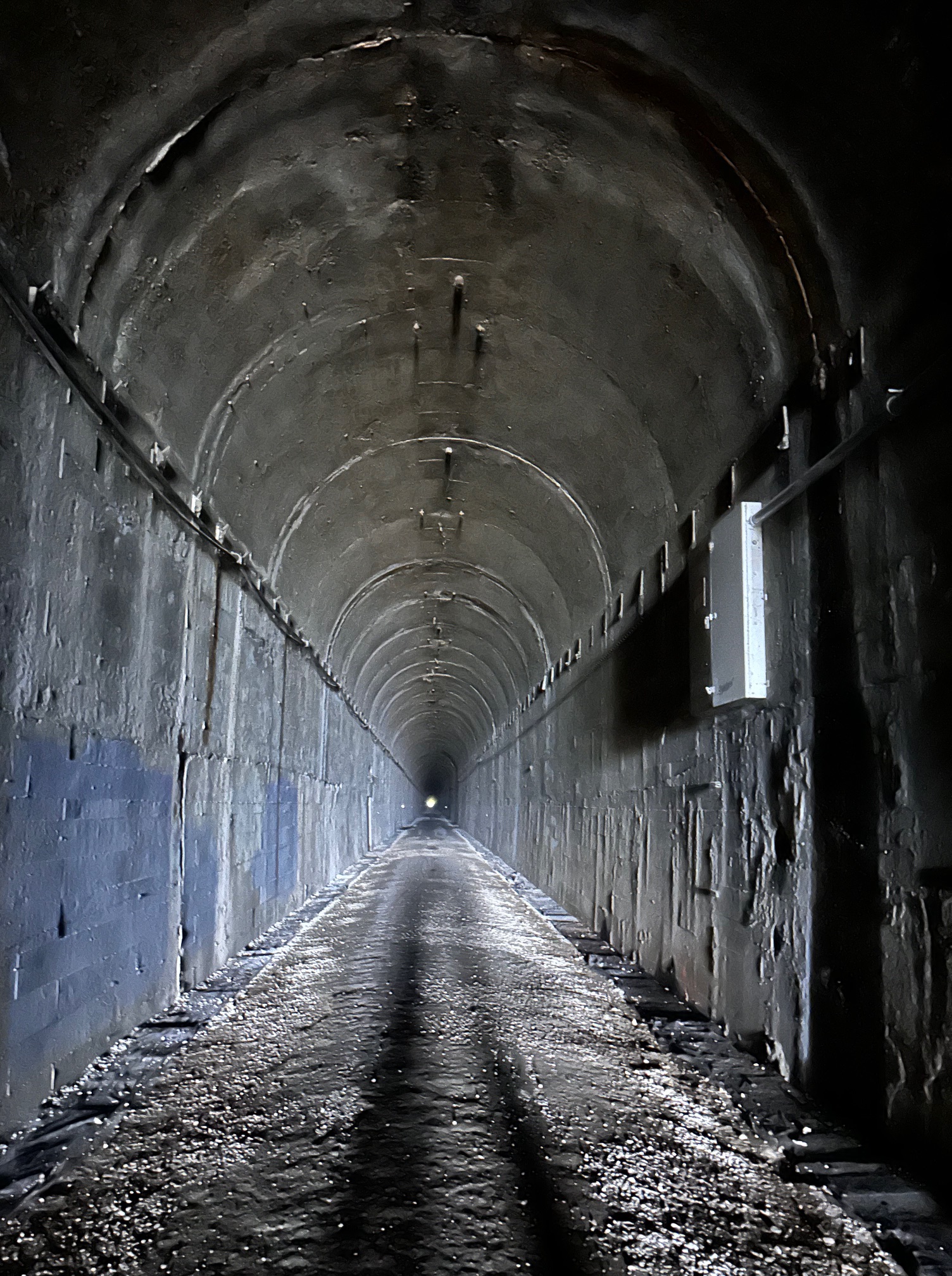
There is a short walk (the sign says .4 mile, but it didn’t feel that long) to the tunnel entrance. It felt cumbersome to be dressed so warmly when out in the sun, but we dressed for the cold dark tunnel. Coats, long pants, gloves, hats, flashlights. If you have a scorcher of a day, this hike is a great way to escape that heat!
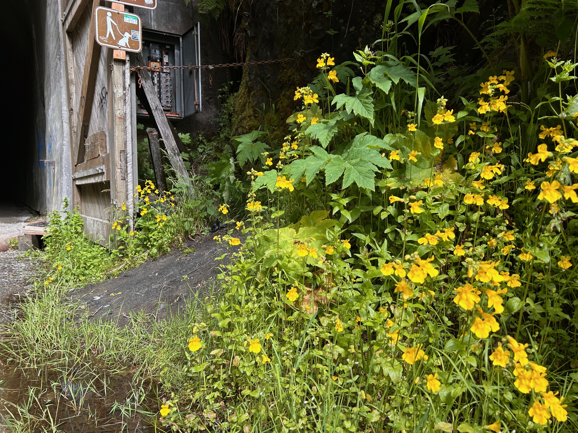
It’s always a bit disconcerting to see nothing but a tiny dot of white far in the distance. But your eyes adjust and you get used to seeing nothing except that bit in front of the flashlight. The tunnel runs pretty straight and mostly flat, but at both ends there are areas where the center is higher than the rest. There are also ditches along the sides, mostly with wood coverings, but some covers have broken through. I wouldn’t want to fall into one of those places, so I’m quite happy to carry my flashlight to make sure I keep away from the edges. Expect wet areas of dripping water.

Noises are amplified and echo back and forth. We arrived early and mostly had the tunnel to ourselves as we headed west. It was quite relaxing. The views once you get out of the east entrance of the tunnel are beautiful. You can hear traffic on I-90 and see far down the valley. We watched a small plane looping around doing some sightseeing. Wildflowers are blooming like crazy right now, so I had fun snapping photos. There are a few picnic tables and a forest toilet (no running water). The trail continues on, but we were not equipped to keep going. ONE day we will be, because I would love to go on to Annette Lake.
We hit the crowds on the way back. Multiple groups with electric bikes passed us in both directions. Some people were walking, a few with dogs. I think we only saw one person with a manual bicycle. This was definitely the most traffic we’ve seen in the tunnel over the numerous times we’ve visited.

Despite the crowds, we had a lovely hike. Cool, dark, refreshing. Ahhh. And snacks waiting for us back in the ice chest.

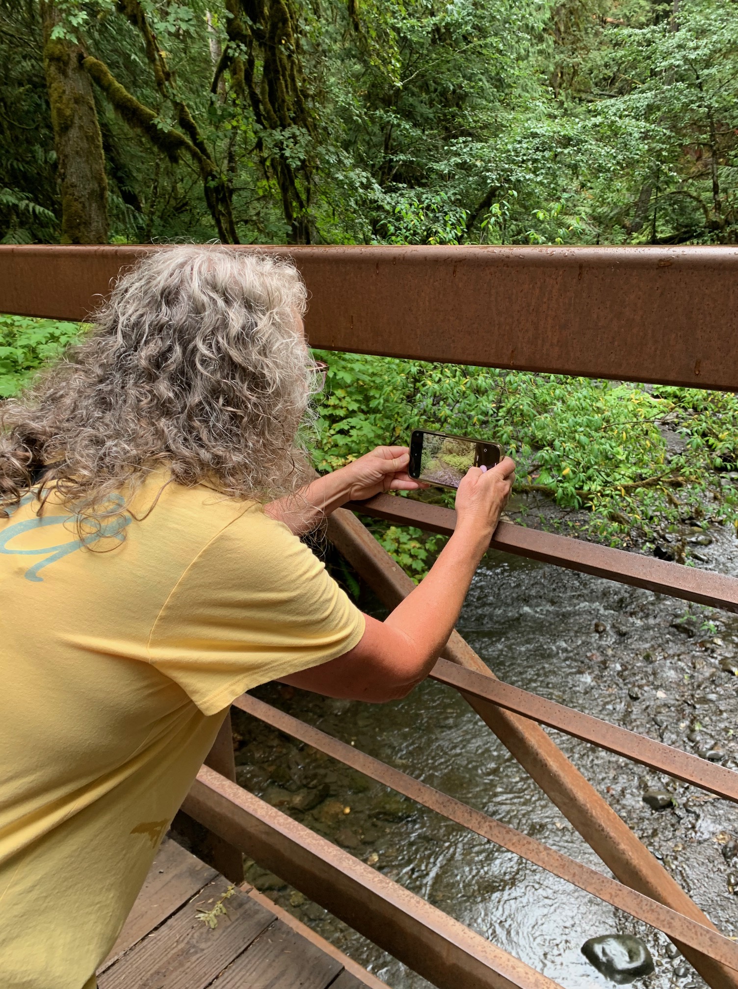
A few weeks back, we went for a hike around Lake Easton. It was a gorgeous day with both shady and sunny sections. If only we had our swimsuits, we could have jumped in the lake to cool off!
The above picture is of the bridge visible from I-90. If one travels east first, this is at the end of the hike. You can just see the trail bridge across the lake along the Palouse to Cascades Trail (near center, whitish line along the water).

We started out at the picnic area/day use portion of the Lake Easton State Park (Discover Pass required). It wasn’t too crowded when we got there and we managed to get a great parking spot. But beware late arrivals when the weather is warm! When we got back from the hike, the parking lot was crammed, people were circling looking for spots, and the beach area was wild. The better plan is to arrive early.
The directions I found were a bit vague-I love well-posted hikes with good signs. But alas, we did not get lost. We wondered once or twice but just kept going. And once we were headed towards Ellensburg on the Palouse to Cascades Trail, but we didn’t get too far before we realized we were headed east instead of west. (Once you pass through Easton, you must head back west to circle the lake.)
Starting at the beach/picnic area right on the lake, we walked east, following a sort of general trail. Which proved to be correct. The Kevster, my honey, is walking along the tree-lined trail above. The surprise was when we had to climb a hill, which we did not notice as we drove in.
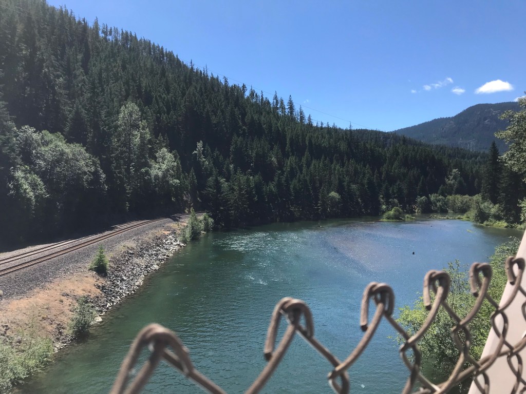
Follow the trail past the lake. It will eventually go past the lake and meander right beside the Yakima River as it exits Lake Easton. Pretty cool!

We passed the Yakima River two times. Once, as seen above, is right past the eastern end of the lake. The other is on the opposite end of the lake, where the Yakima River enters Lake Easton!

After the riverside trail leads you back to the main road, Lake Easton Road, hang right and walk back across the bridge and through Easton. Once you are through Easton, follow the signs to the Palouse to Cascades Trail (a right turn on Cabin Creek Road).
I’m standing between the Burlington Northern Santa Fe (BNSF) railroad tracks. Continue over the tracks, easing right (not left like we did at first) around another corner and you will see a sign leading you to the Palouse to Cascades Trail. It looks like a road. Great for walking!

And a tunnel! I love tunnels, particularly ones I can see through without too much difficulty.

I love this picture!
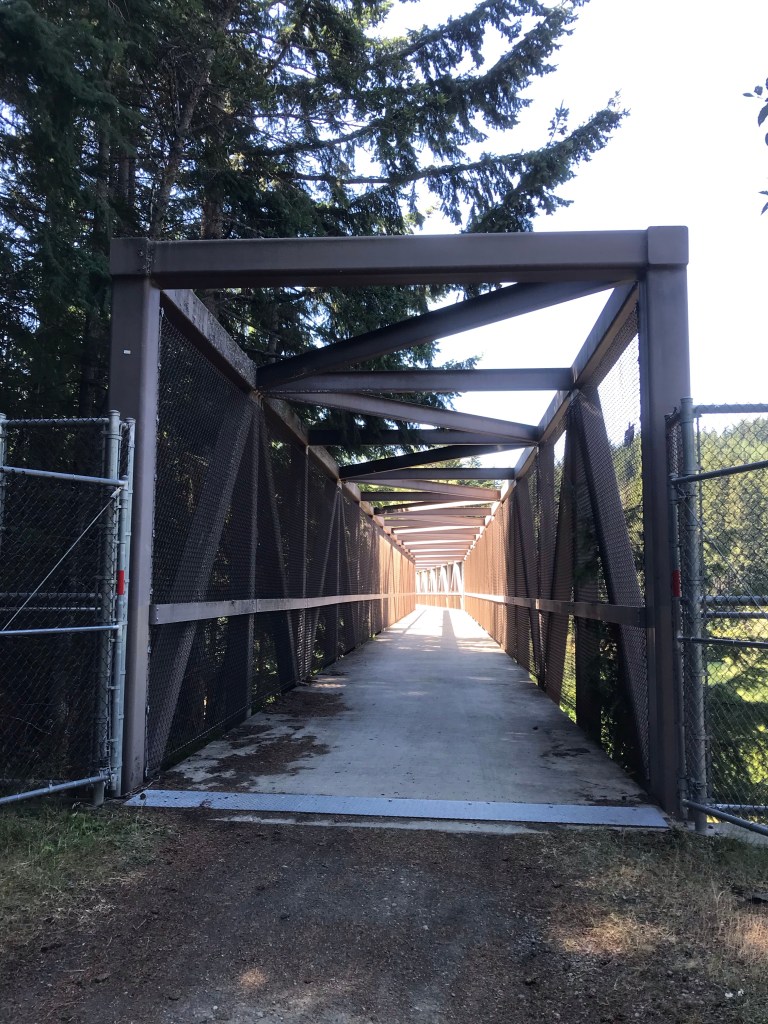
And then this! A very cool trail bridge over the Yakima River! On the right side you see the beginning of the lake, on the left is the Yakima River. Just think, this river flows all the way down to my valley!

Lake Easton, looking north. I-90 is right behind the trees along the northern edge of the lake.
The Yakima River

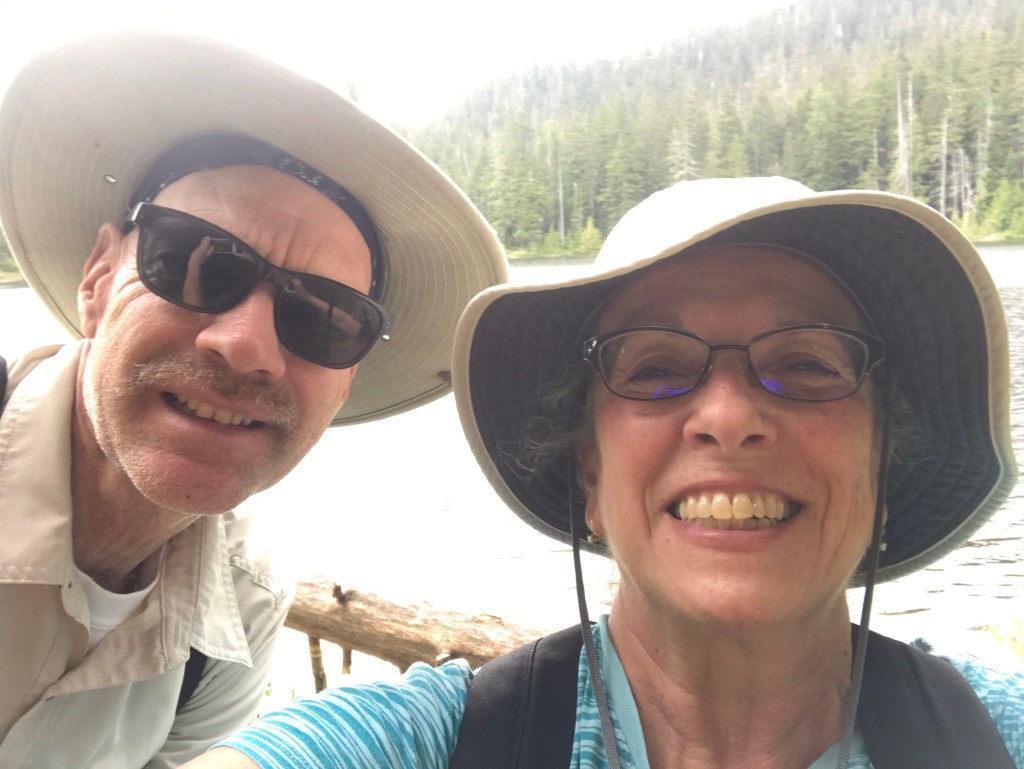
The obligatory selfie with my honey.
Continue over the trail bridge for just a short distance and follow the signs on the right to travel along the western edge of the lake, looping back around the lake. Keep going and you will pass an old concrete bridge. This location is usually full of swimmers, fishers, and boaters! We saw all three. And you can see it at the bottom of the big hill as you drive east from Seattle on I-90.
We walked through the campground, trying to avoid the main road. Which didn’t work the whole way, but it was fine. Pretty soon we were back to the car, already imagining hiking further along the Palouse to Cascades Trail towards the top of the pass (but maybe not the whole 18 miles in one day!).
This is a beautiful hike, and interesting because of the scenery changes.

NOTE: We hiked the Columbia Hills State Park Hike the weekend before COVID-19 lock-downs. Even then, people on the trail were distancing and loud murmurs of impending disaster made everyone uneasy. I’m posting this now, in August 2022. Trail conditions are MUCH drier and hotter. I imagine rattlesnakes, ticks, sunburn, and dehydration are all the rage right now. I’m not going to personally check that out though. Prepare well!

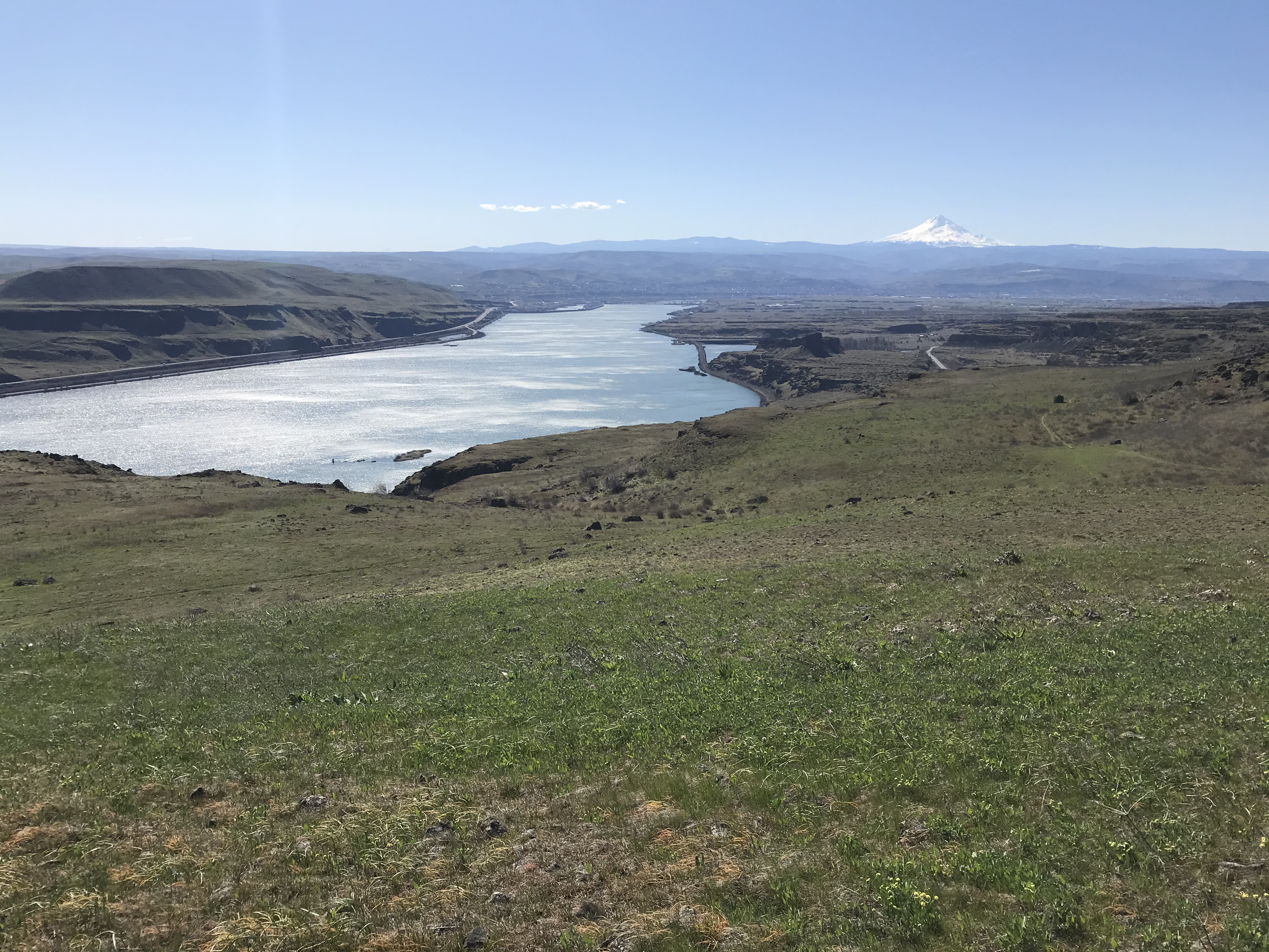
Spring is the time to enjoy hikes along the Columbia River Gorge.
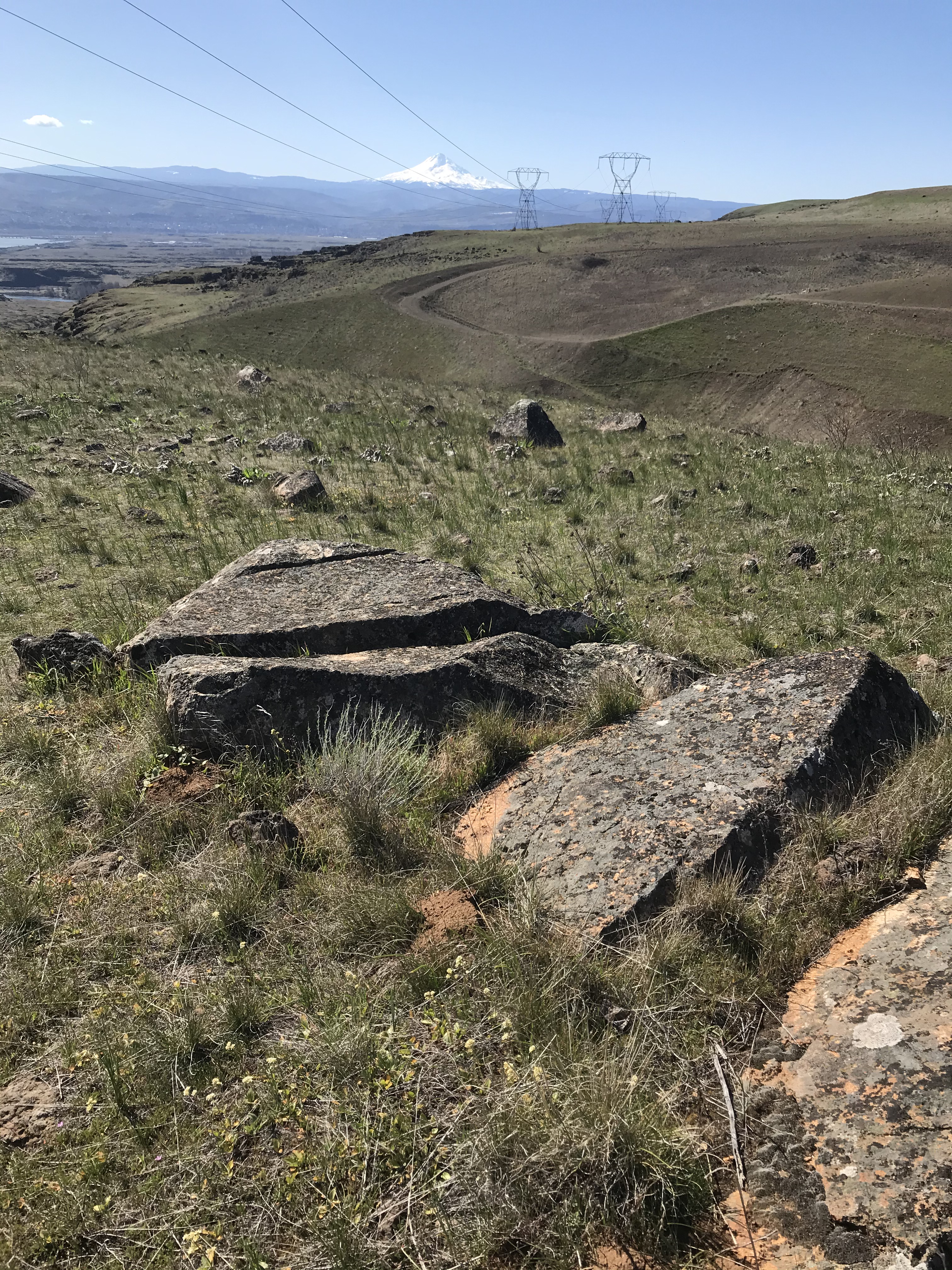
We hiked about 4.5 miles of the Crawford Oaks trails on Highway 14, on the north side of the highway near Horsethief Lake. I say spring and fall because there is only sparse shade on the service road headed up to the head of the canyon. Once you reach the ridge view trails and grasslands, well, all you have is grass, sagebrush, and weeds. No shade.
But. You have fantastic views! We could clearly see Mt. Hood, The Dalles, and up and down the Columbia River. While warm in the canyon, once we hit the top of the hills, the wind was blowing Goldendale-style. Good thing my hat has a neck band for holding it on. This kept us cool, but the sun was in full force.

One very cool thing we saw was the waterfall. You can hear it from the parking lot and on the way up, as you hike beside the stream and cross it to get to the trails. I doubt there is much water flowing in late summer and fall. The water attracted all sorts in winged (and annoying) insects. Butterflies, horseflies, and beetles. Birds were plentiful and filled the air with chattering, squabbling, color, and entertainment. One of my favorites has always been meadowlarks. We heard several singing their beautiful song as we hiked. Jays, magpies, a bald eagle, and numerous sparrows added to our enjoyment.
Squirrels darted all over the canyon area and chittered loudly at we hiking intruders.
All in all, it was a beautiful hike. While we did not see snakes, I know rattlesnakes will become an issue as it warms up.

This is a great hike right now. OH. We were about two weeks too early for the lupines. That is going to be one beautiful show.
Necessities: sunblock, hat, sunglasses, ample water, good shoes
The trailhead has one of the cleanest port-o-potties I’ve seen, plus a shaded picnic table. Trails are well marked.
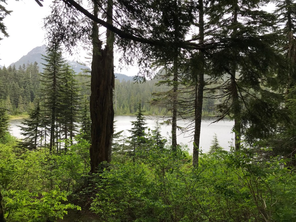
At nearly 4 miles round trip, Lodge Lake is a perfect hike if you have a small window of time. We went on a rainy Tuesday, which was perfect, since I love hiking in the rain!

At the top of Snoqualmie Pass (I-90), go to the far far west parking area and you will find the parking lot for the Pacific Crest Trail and the trail for Lodge Lake, both of which share the path until you reach the lake. A Northwest Forest Pass is required for this parking area.

The hike first travels across the ski slopes. The view across I-90 is gorgeous, and it’s fun to walk where normally 10+ feet of a snow base covers the slopes. Traffic from I-90 and the buildings from the top of the pass are easily visible (and audible). But once you crest the hill and start down the other side, the noise disappears (other than occasional air traffic) and it feels like you are out in the middle of nowhere. The sun and heat from open slopes cools right away once you reach tree cover. Ahhh.

This is not a busy trail. We saw a total of 9 people (including us), 1 dog, and 1 cell tower service worker. There is some rock scrambling, sections of roots to watch, and even a pretty stream to ford, but it’s not difficult. The trail is well-maintained. The peace and quiet, forest scents, bird song, views, and exercise were just what I needed.

There are two places to watch. I read one report on the Washington Trails Association website, which warned us about both. Once you reach the top of the slopes, do not follow the steep path up towards the cell tower. Instead, find the path to the far right and take that. When you see the I-90 sign on a tall tree, look to the right for the trail. It has an edging of rocks.
The other section is knowing how far to go on the trail. You WILL see the Lodge Lake sign on a tree. Just take that path. You will glimpse the lake through the trees. If you miss this sign and find one for Stampede Pass, you’ve gone too far. Turn around.
The lake was so beautiful! Just as we arrived, it started to rain-my favorite! Plan to keep moving or bring along the bug spray. The mosquitos were starving and aggressive. We only stayed a short while and had to leave to get away from them.

Pretty views streamed out in every direction, from wildflowers to tiny waterfalls. Other than the skeeters, the Lodge Lake hike is a gem! Plan this hike in spring, summer, or fall. Come snow (and skiing season), you will need skills and equipment beyond what I have!

What a beautiful hike!
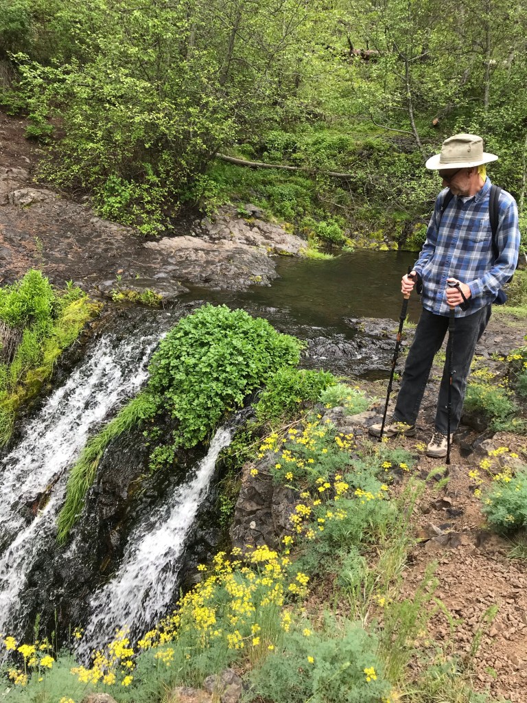
Whether spelled “Umptanum” or “Umtanum,” it was gorgeous! Here is the view from the bottom of Umptanum Creek Falls. The clamber down was pretty slicky-slidey in dirt, but worth the effort. The crawl back up was even more tenuous! I noticed someone had tied a rope between two points on the south climb back up around. We didn’t use it, but look for it if you choose that way to get back to the top of the falls (the way back to the car park).

Proof of the “Umptanum” spelling. No potties here, friends, so plan ahead.
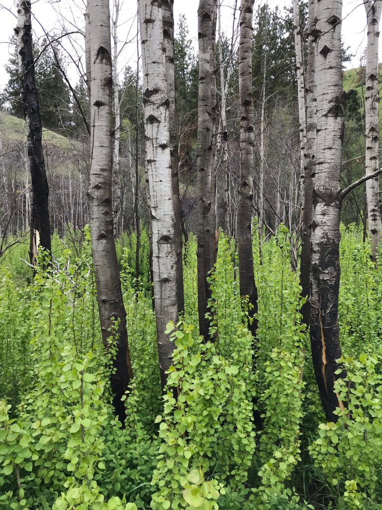
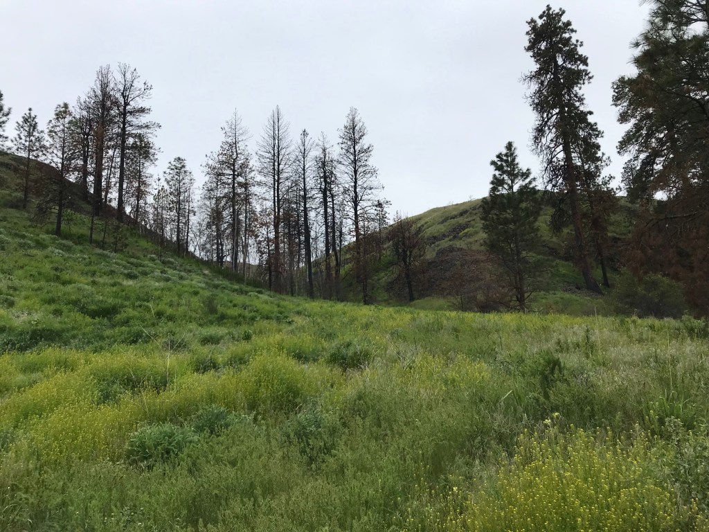
Evidence of a previous fire lines both sides of the trail. I found the stark black a beautiful counterpoint to the spring greens and gray bark.

Umptanum Creek is such a pretty, quiet little stream!

From the bottom of the falls. We had a wet, drizzly day (perfect to my way of thinking), so it was pretty chilly sitting at the bottom while we enjoyed the view.
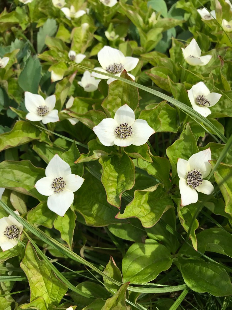
This is the view from the top of the falls. The wildflowers were out in abundance! Gorgeous!
Pretty scenery along the way. We didn’t encounter very many people on the way to the falls, but the crowd was picking up on our way back.

Just starting to bloom!

Also…DUH dum…this looks like stinging nettles. There were huge sections of this plant lining parts of the trail. Just a heads up. I double-checked my photo with online sources and they look the same to me. We hiked with poles, so it was easy to push back plants as we walked through.

Honey? I want this in my back yard!
The hardest parts of this trails were: 1. getting there (pretty, but long drive from Yakima on a dirt road); 2. getting back up the steep hillsides from the bottom of the falls; and 3. no potties.
You can read more about this hike at Washington Trails Association.
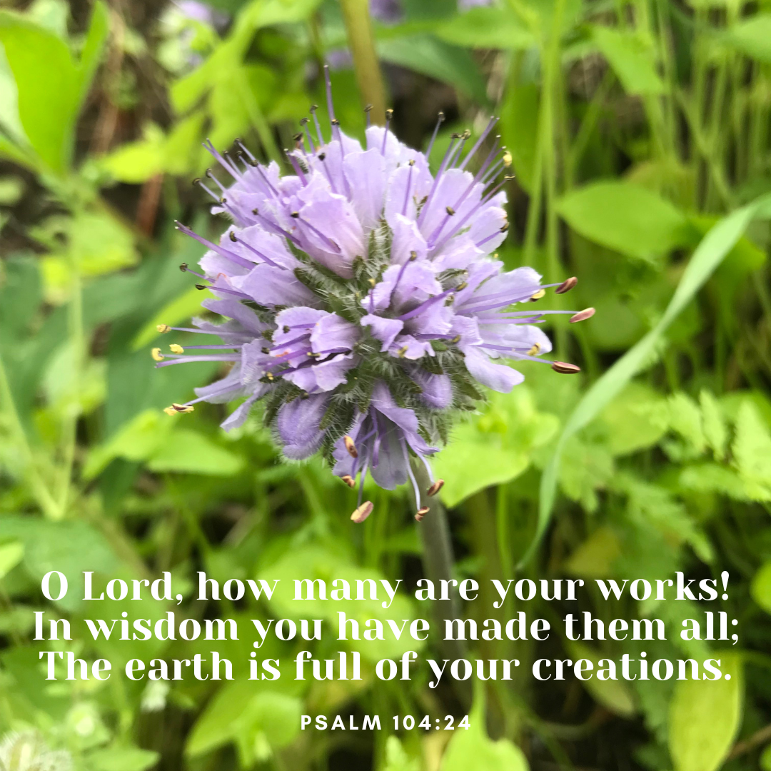
Photo by Angie Quantrell
Umtanum Creek Falls, Central Washington

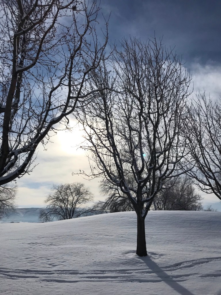
Can you tell I am ready for flowers, green, and hiking in the mountains? This will come, after the snow melts, the fog dissipates, the mud dries, and the earth springs forth with life.
Photo by Angie Quantrell
Cascade Mountains, Washington

before, snow blankets
snowfall melts under sun’s smile
after, window holes

before, after by Angie Quantrell
photos by Angie Quantrell, Yakima Valley

Not much was the same in 2020.
We became creative, inventive, technologically gifted, resourceful-all in the effort to live life and connect with fellow humans. Plans were ditched or tossed aside, trips canceled, 35th anniversary trips to magical locations did not occur. Birthday parties became drive-by’s. Travel screeched to a standstill as nature locations filled to overflowing with folks desperate to get outside. To get OUT. Childcare and transfer between shared-custody parents became fraught with contact points and who was sick and who was with whom when they got sick. Schooling reached new heights of teamwork between parents, teachers, and Nana’s. Vocabulary increased to include 2020-specific words like virtual learning, hybrid learning, Google Classroom, Zoom, Loom, Chrome Book, internet capabilities, mute yourself. DIY projects blossomed and not once was Lowe’s closed. I suspect they, and other home improvement stores, had a banner year of profits due to the frenzy of home projects. That, along with shortages of flour, yeast, sugar, and toilet paper gave insight to what most of us were doing. Staying home, fixing up, and baking.
The traditions were the hardest to “fix.” Outdoor gatherings, socially distant of course, and much fuss over wearing masks (cute, cotton, and washable) has become so normal, I fear for our social skills and facial expressions once the pandemic settles down.
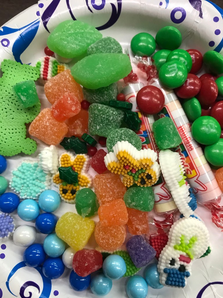
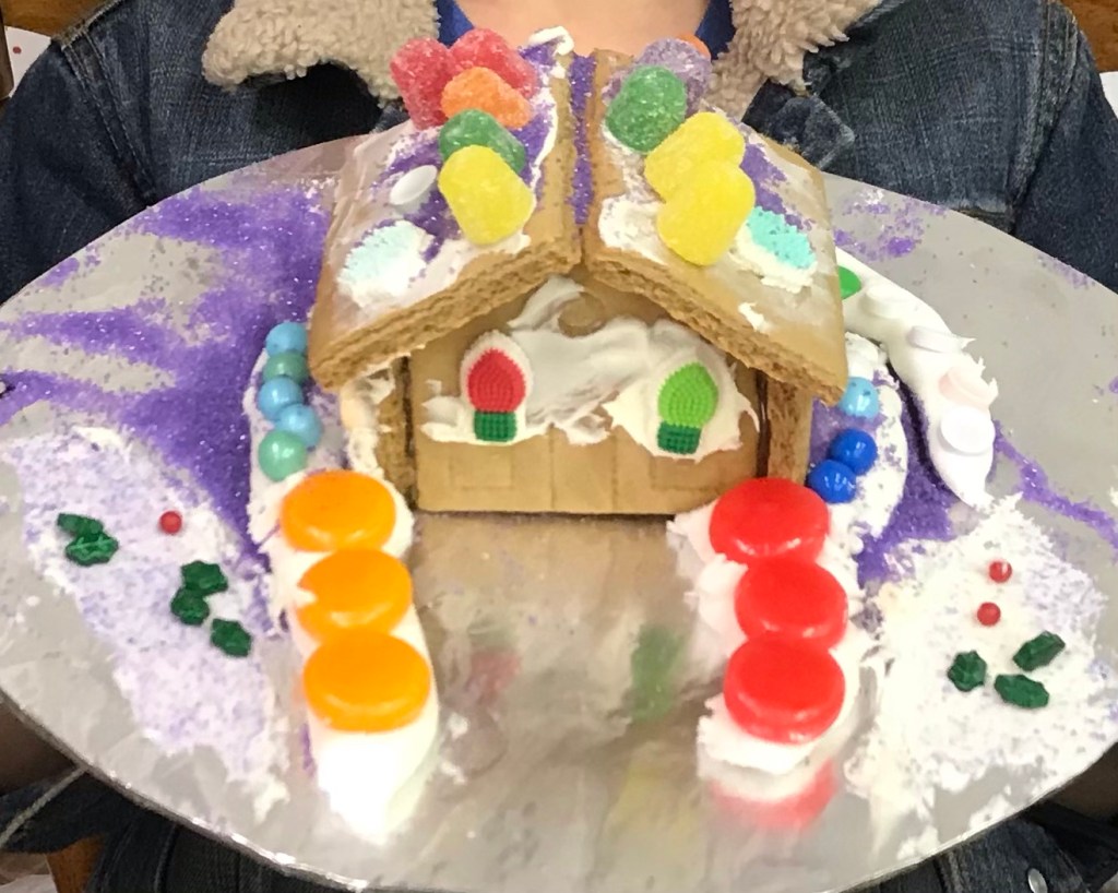
And then Christmas. How to do gingerbread houses? Carefully. In a huge area. With only healthy grands.
And Christmas gifts? Christmas pillowcases became my idea of the year. Totally reusable gift bags, tied with jump ropes. Open your gifts, put your gift bag, er, pillowcase, on your pillow for a good, snowy night’s sleep. Why didn’t I think of this before? Sure, sewing them on Christmas Eve Day is not advisable, but it did allow me to work my way through several Hallmark Christmas Movies as I cut, pinned, sewed, and ironed. And I’ve already purchased my fabric for next year to avoid the same rush. (We might check back on that one, because having purchased fabric is not the same as having sewn the pillowcases. . ..)
Gingerbread cookies were baked yesterday. December 30. They taste just as good, no matter the date, especially plain, with coffee.

Are things looking up for 2021? I certainly hope so. But even if the recovery is slow, I know we can do it. We’ve had all of 2020 to figure out how to make things work. Like in the days of the Depression, our ancestors made do, made it work, or made do without it. We are ready.
May the Lord go before us, bless us, and keep us as we journey into the new year! See you next year!
