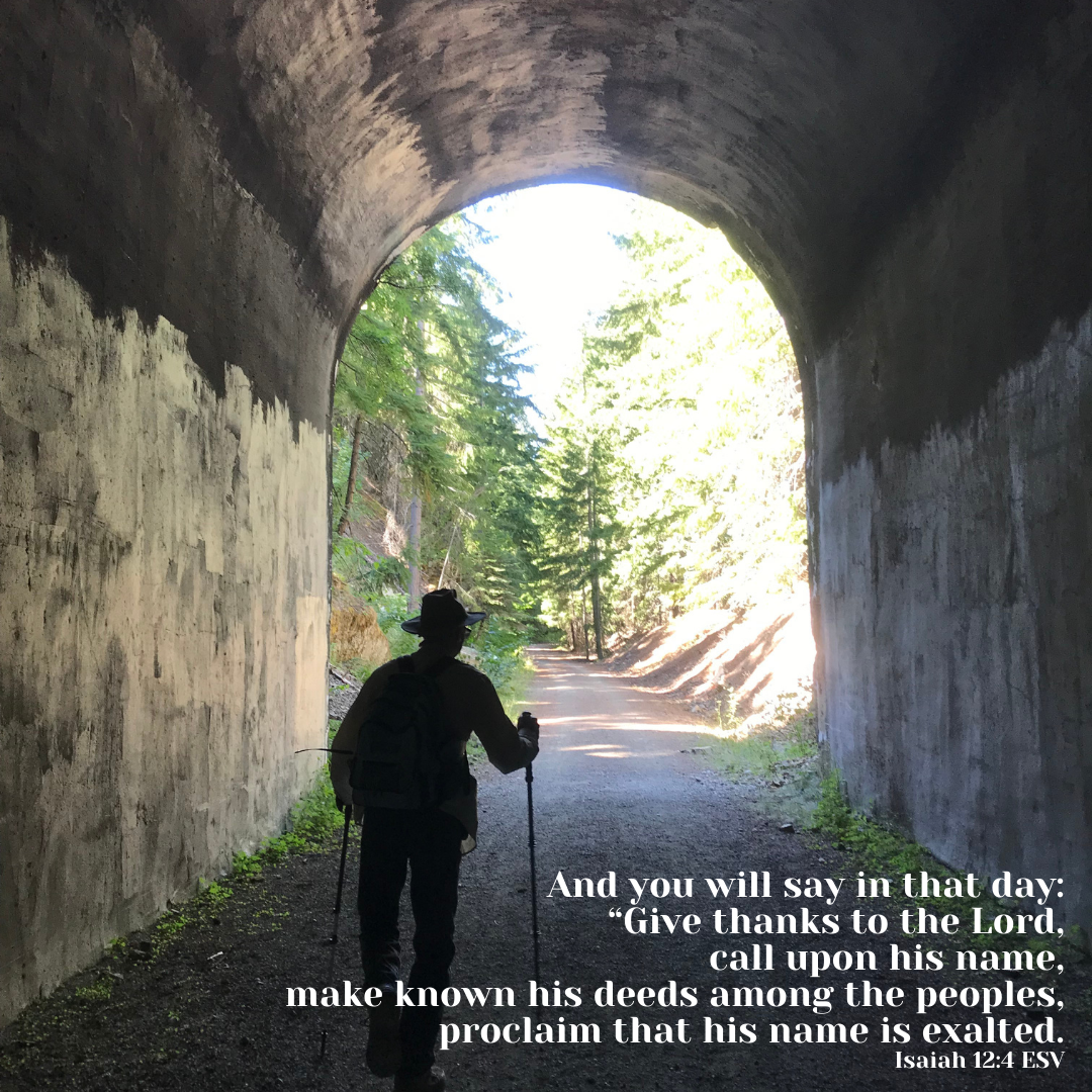
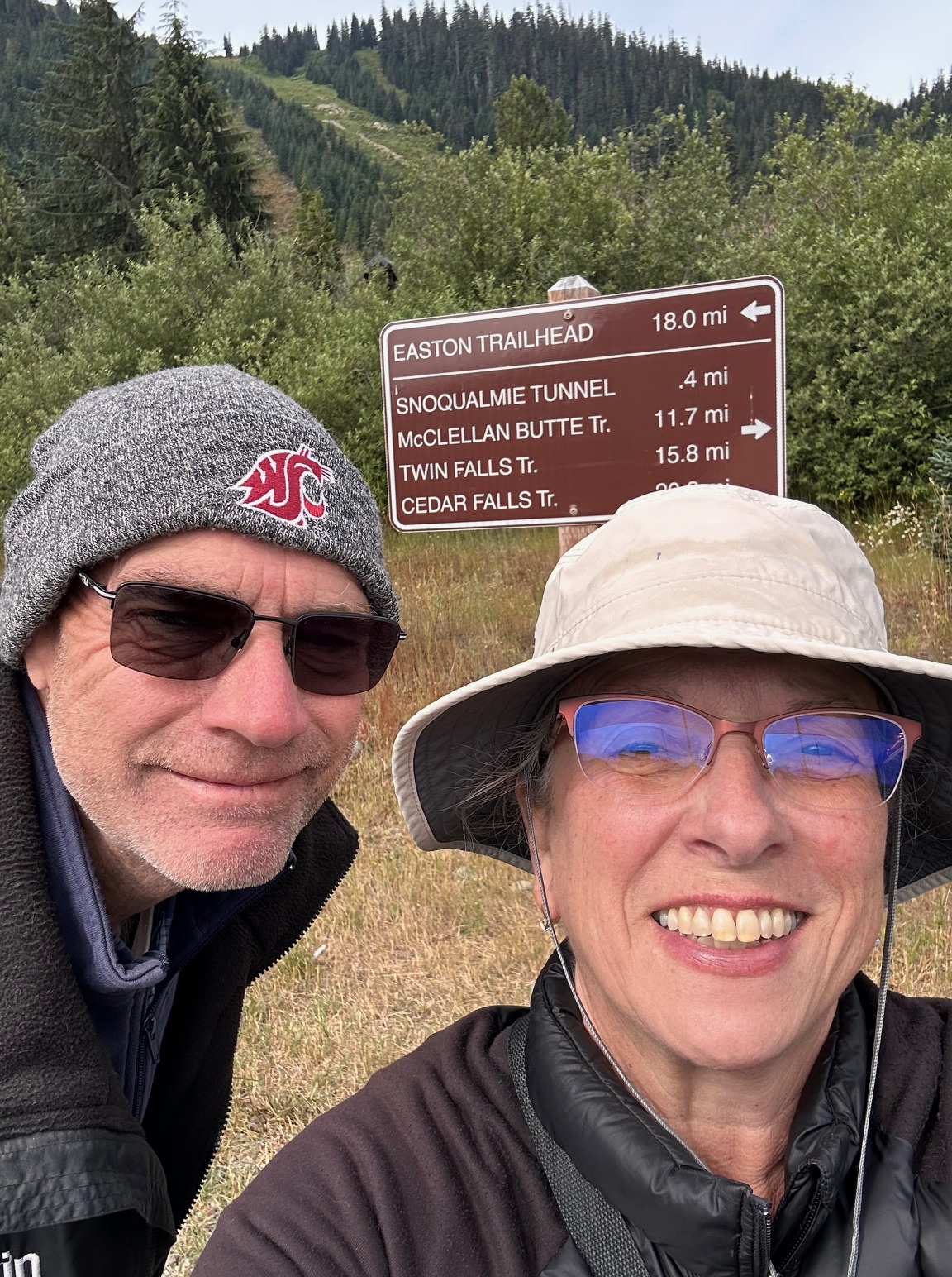
We headed out for a cool walk/hike last weekend. Located at the top of Snoqualmie Pass just off of I-90, the Snoqualmie Tunnel is an old railroad tunnel that stretches about 2 miles one way. The distance is not the same as other places I looked, but let’s just say 2-ish tunnel miles to get to the other end. If you want to get back to your car, then 2-ish tunnel miles to get back. LOL

Take the Hyak exit and follow the signs to the large parking area. Restrooms are available. The parking lot sits next to the Palouse to Cascades Trail, so if you don’t want to walk in the cold damp dark, you can head east and walk along the backside of Keechelus Lake (which is very low this year due to drought).
There is a short walk (the sign says .4 mile, but it didn’t feel that long) to the tunnel entrance. It felt cumbersome to be dressed so warmly when out in the sun, but we dressed for the cold dark tunnel. Coats, long pants, gloves, hats, flashlights. If you have a scorcher of a day, this hike is a great way to escape that heat!
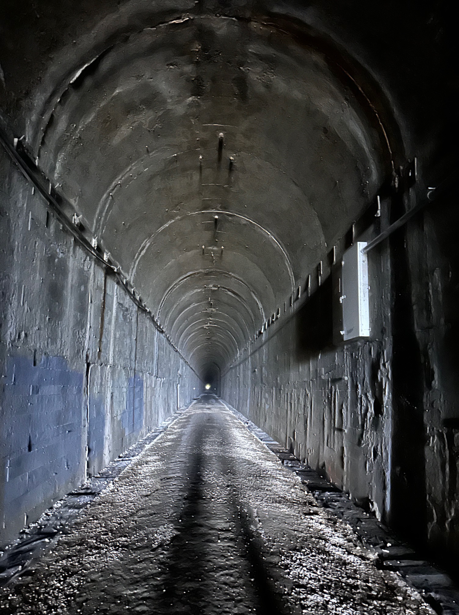
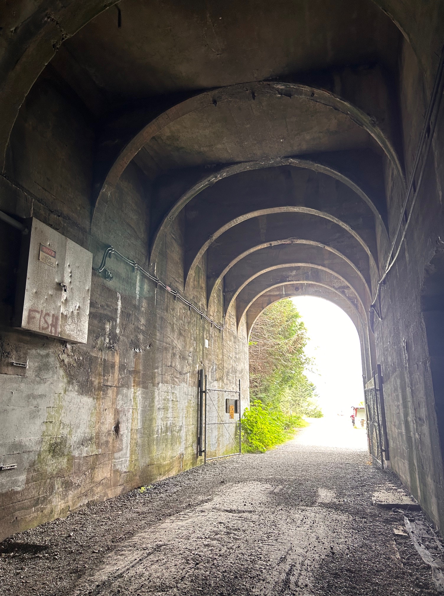
It’s always a bit disconcerting to see nothing but a tiny dot of white far in the distance. But your eyes adjust and you get used to seeing nothing except that bit in front of the flashlight. The tunnel runs pretty straight and mostly flat, but at both ends there are areas where the center is higher than the rest. There are also ditches along the sides, mostly with wood coverings, but some covers have broken through. I wouldn’t want to fall into one of those places, so I’m quite happy to carry my flashlight to make sure I keep away from the edges. Expect wet areas of dripping water.

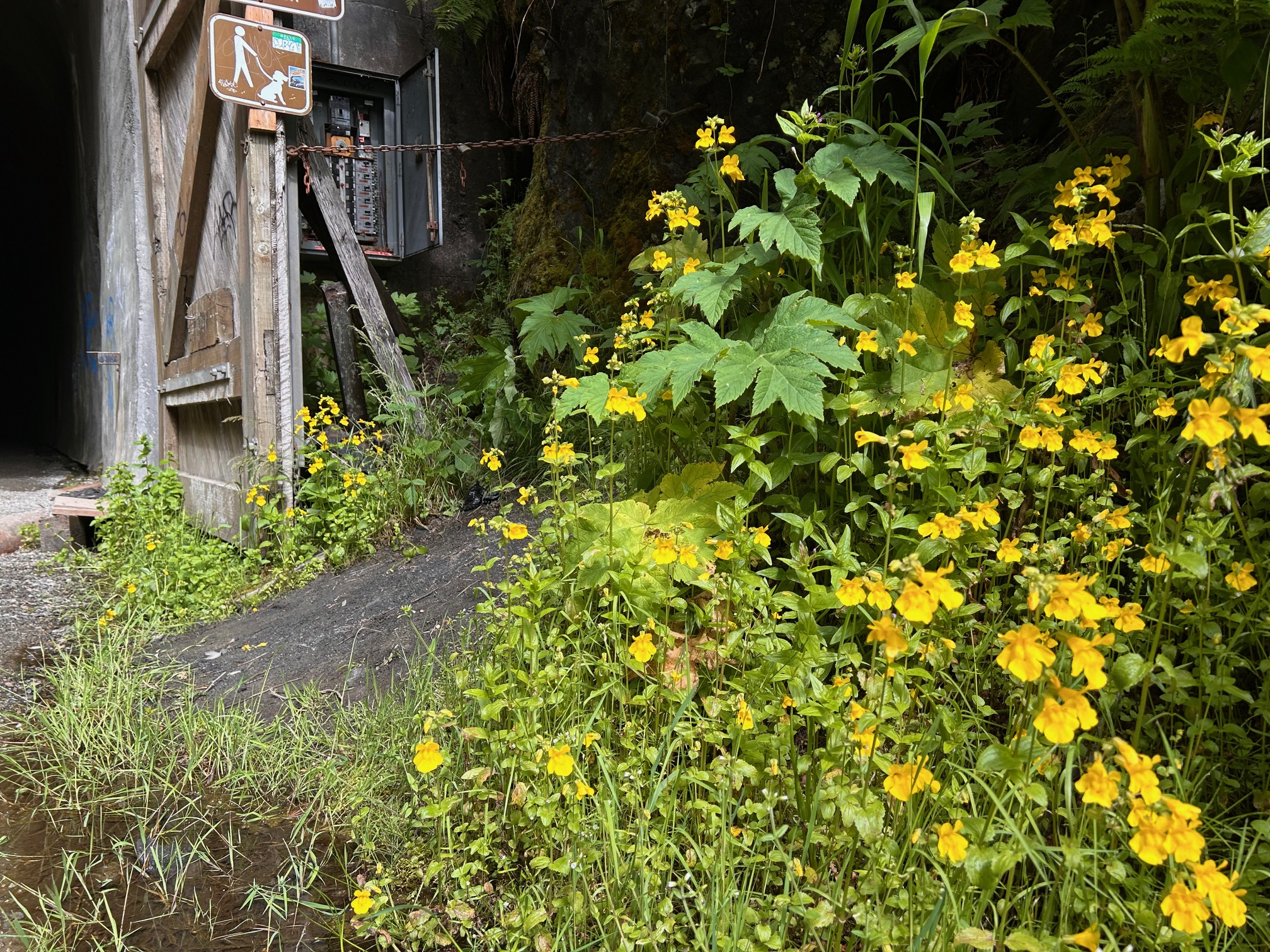
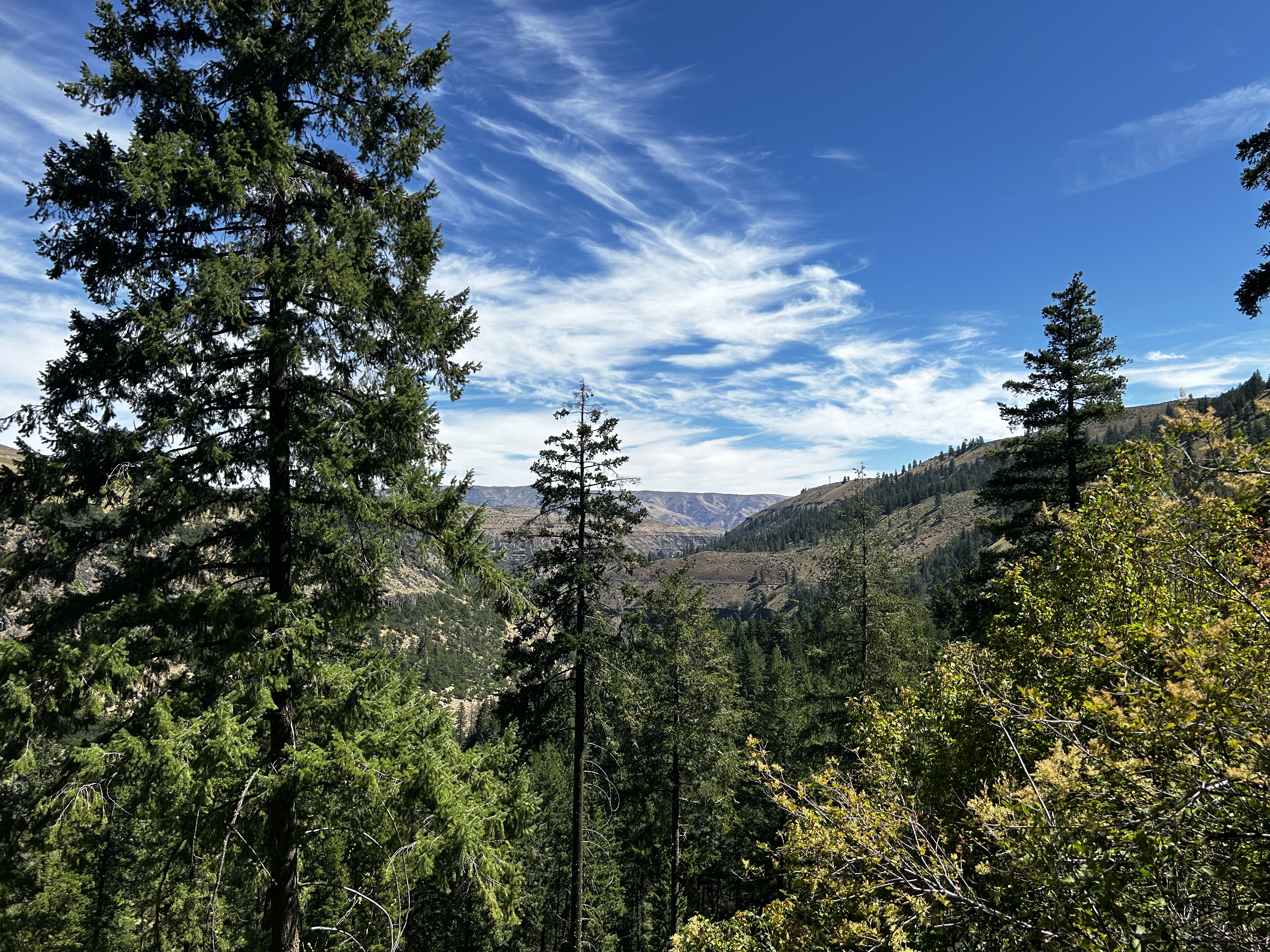
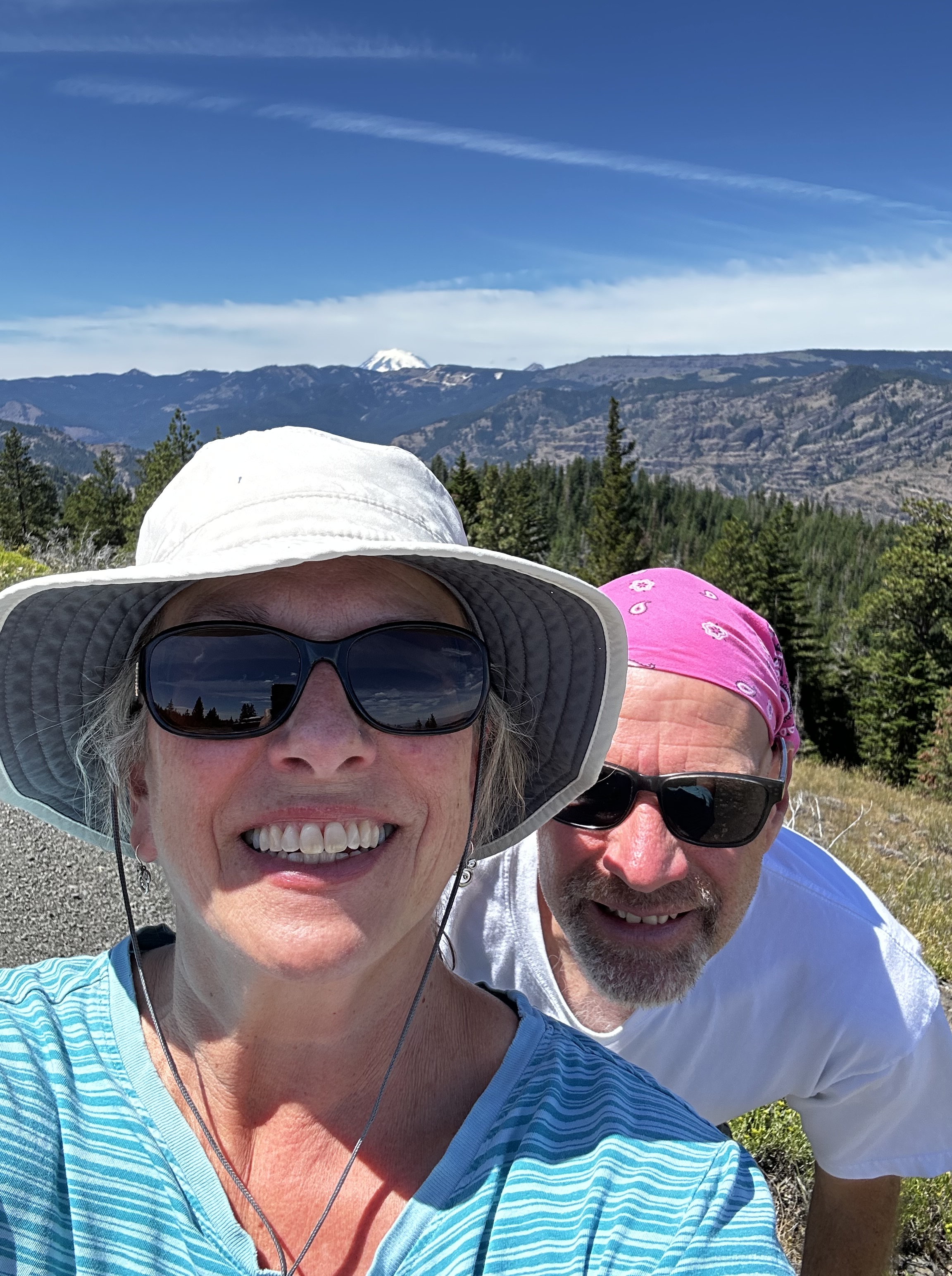
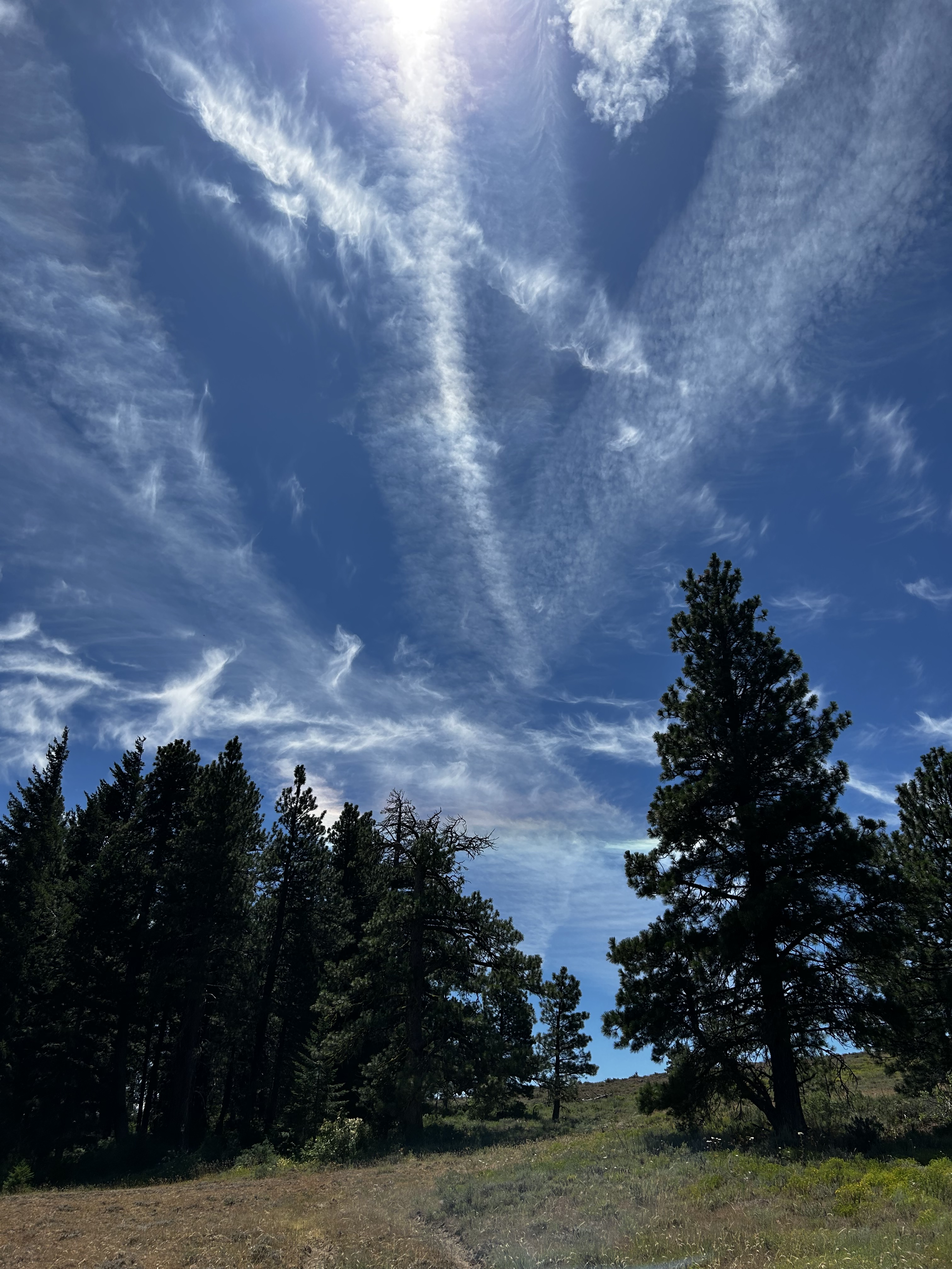
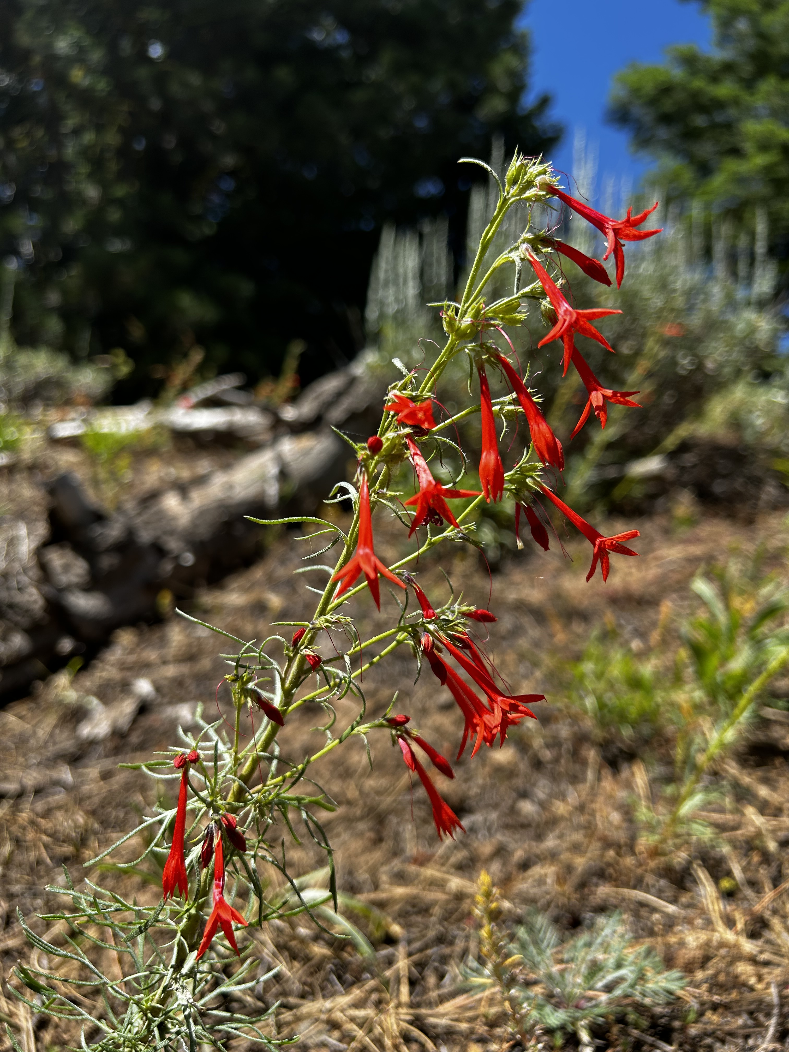
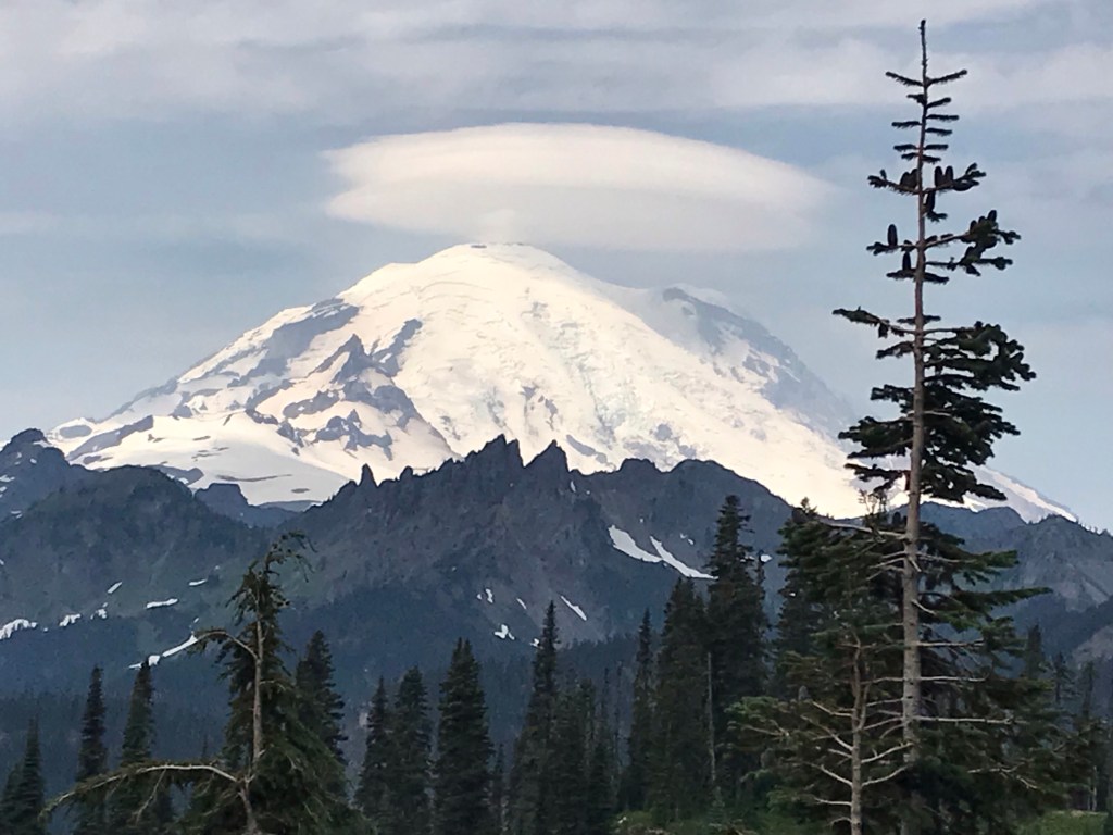
Noises are amplified and echo back and forth. We arrived early and mostly had the tunnel to ourselves as we headed west. It was quite relaxing. The views once you get out of the east entrance of the tunnel are beautiful. You can hear traffic on I-90 and see far down the valley. We watched a small plane looping around doing some sightseeing. Wildflowers are blooming like crazy right now, so I had fun snapping photos. There are a few picnic tables and a forest toilet (no running water). The trail continues on, but we were not equipped to keep going. ONE day we will be, because I would love to go on to Annette Lake.
We hit the crowds on the way back. Multiple groups with electric bikes passed us in both directions. Some people were walking, a few with dogs. I think we only saw one person with a manual bicycle. This was definitely the most traffic we’ve seen in the tunnel over the numerous times we’ve visited.

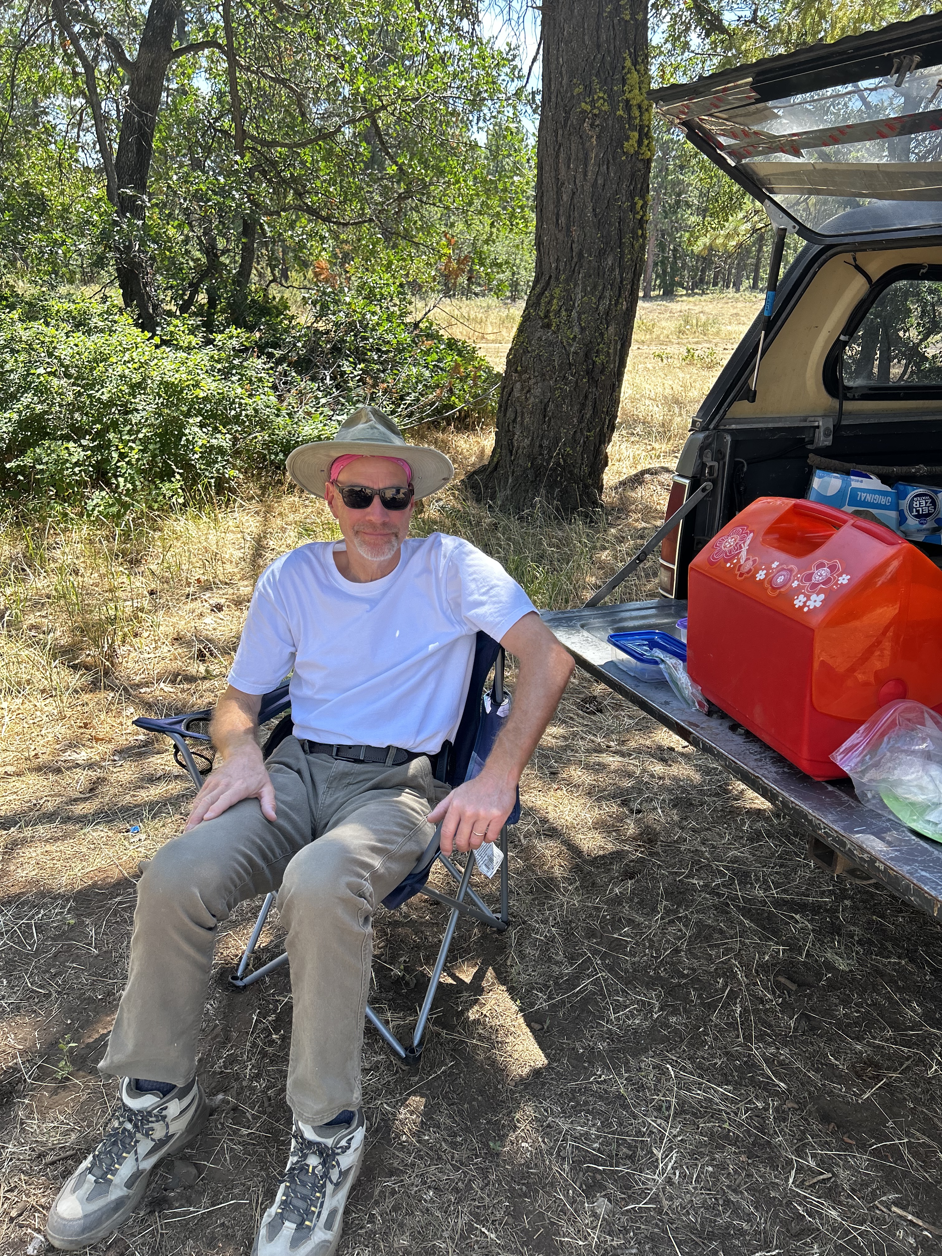
Despite the crowds, we had a lovely hike. Cool, dark, refreshing. Ahhh. And snacks waiting for us back in the ice chest.