Love, Laughter, and Life

Adventures With a Book Lover


4 Comments

Cascades Hike: Lodge Lake, Snoqualmie Pass

At nearly 4 miles round trip, Lodge Lake is a perfect hike if you have a small window of time. We went on a rainy Tuesday, which was perfect, since I love hiking in the rain!

At the top of Snoqualmie Pass (I-90), go to the far far west parking area and you will find the parking lot for the Pacific Crest Trail and the trail for Lodge Lake, both of which share the path until you reach the lake. A Northwest Forest Pass is required for this parking area.

The hike first travels across the ski slopes. The view across I-90 is gorgeous, and it’s fun to walk where normally 10+ feet of a snow base covers the slopes. Traffic from I-90 and the buildings from the top of the pass are easily visible (and audible). But once you crest the hill and start down the other side, the noise disappears (other than occasional air traffic) and it feels like you are out in the middle of nowhere. The sun and heat from open slopes cools right away once you reach tree cover. Ahhh.

This is not a busy trail. We saw a total of 9 people (including us), 1 dog, and 1 cell tower service worker. There is some rock scrambling, sections of roots to watch, and even a pretty stream to ford, but it’s not difficult. The trail is well-maintained. The peace and quiet, forest scents, bird song, views, and exercise were just what I needed.

There are two places to watch. I read one report on the Washington Trails Association website, which warned us about both. Once you reach the top of the slopes, do not follow the steep path up towards the cell tower. Instead, find the path to the far right and take that. When you see the I-90 sign on a tall tree, look to the right for the trail. It has an edging of rocks.

The other section is knowing how far to go on the trail. You WILL see the Lodge Lake sign on a tree. Just take that path. You will glimpse the lake through the trees. If you miss this sign and find one for Stampede Pass, you’ve gone too far. Turn around.

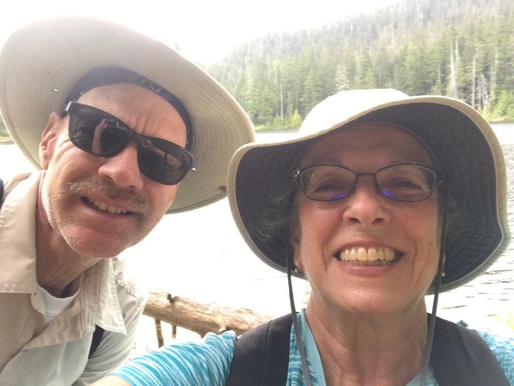
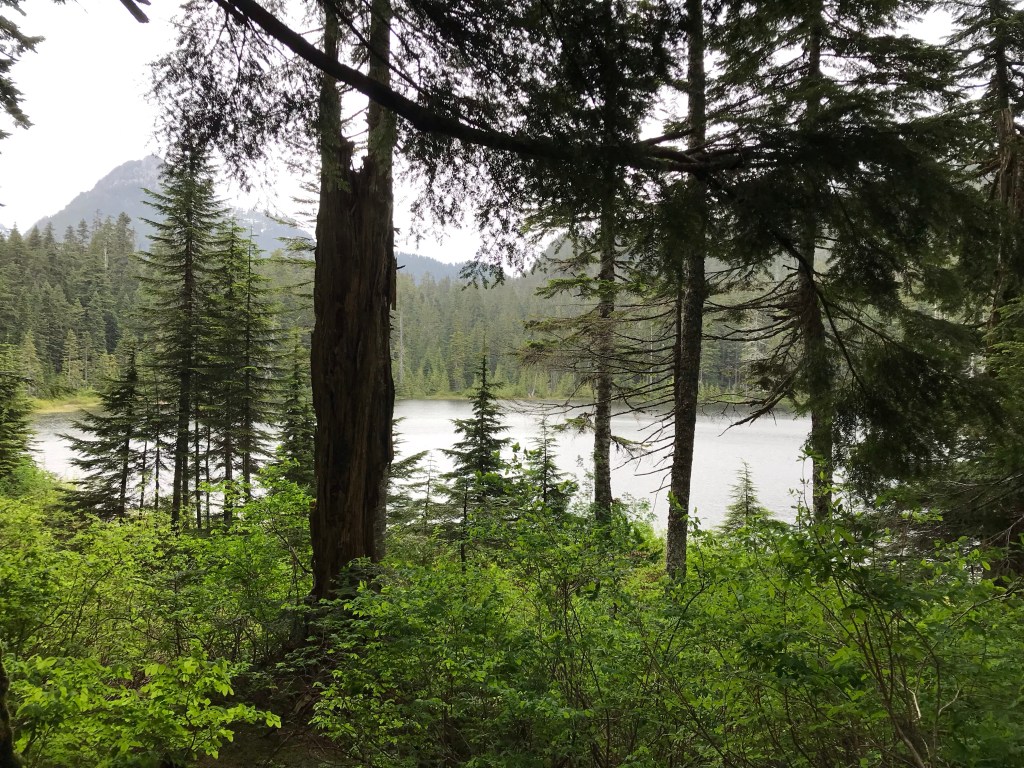
The lake was so beautiful! Just as we arrived, it started to rain-my favorite! Plan to keep moving or bring along the bug spray. The mosquitos were starving and aggressive. We only stayed a short while and had to leave to get away from them.

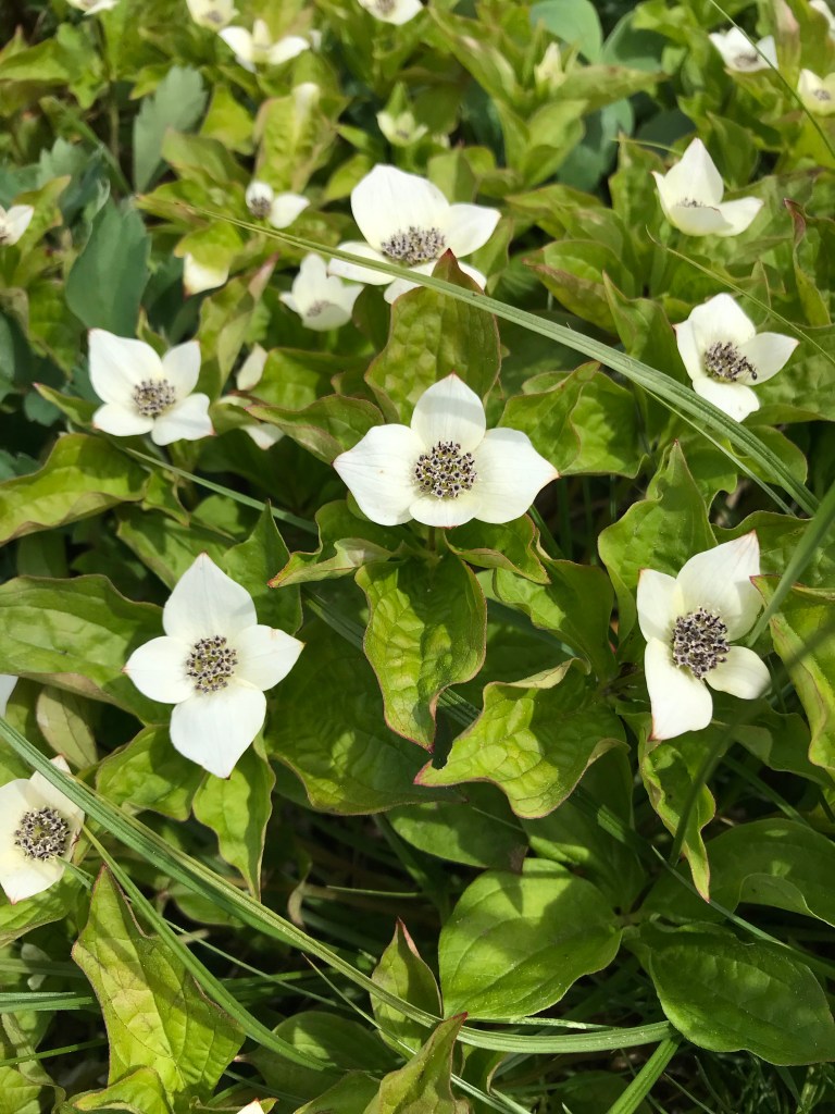
Pretty views streamed out in every direction, from wildflowers to tiny waterfalls. Other than the skeeters, the Lodge Lake hike is a gem! Plan this hike in spring, summer, or fall. Come snow (and skiing season), you will need skills and equipment beyond what I have!


4 Comments

Peoh Point Hike

Last month we took advantage of a sunny fall day and drove the 4×4 pickup to the top of a ridge just south of Cle Elum, Washington.

Peoh Point is a rocky outcropping overlooking Cle Elum and Roslyn, both of which are nestled near I-90 in Washington state. The drive to Cle Elum along the freeway is fast. But the fast ends once you get off the paved road.

The drive to the parking area of Peoh Point is definitely for high clearance vehicles. We did not need 4×4 at all, but the potholes and rocks would have caused trouble for my car.

We found the Peoh Point hike through the Washington Trails Association site: http://wta.org . You can visit to read my report for our day of hiking here: https://www.wta.org/go-hiking/trip-reports/trip_report-2020-10-17-0055288474

Despite the slow ascent and very bumpy road, it was a beautifully crisp fall day with leaves full of color and drifting to the ground. Everything was damp due to recent rain, but snow was absent.

The “trail” begins about 10 miles up the unpaved road. Once you find the 5-way intersection of dirt roads, that is the place to park if you want a longer “hike” (or walk). Look closely, as I couldn’t count 5 roads so we missed this place. There is a sign which tells you to go left. We did. And parked just down the road.

The Peoh Point trail is really a cell tower access road, so the hiking was easy. Other than fallen branches, rocks, potholes, and puddles, it was a pretty relaxing hike. I’m glad we parked where we did though, to get a decent walk in. You can continue on the road to Peoh Point and get very close, about one mile, from the point. We wanted a longer walk.

The point. Wow. We had views! The cell tower is ON the point, but there is plenty of space to wander around and look at the views. We could see (and hear) the traffic of I-90 and even a train. We used binoculars to find landmarks in Cle Elum and Roslyn. We could see Ronald, the lake, and more. We could tell eastbound traffic was backed up on the freeway. It was fun to play “bird” and see from a bird’s viewpoint.

BEWARE: Peoh Point is a cliff! Steep drop-offs are all along the north side of the cliff. There is a fence around the cell tower, but even with that fence, it would be easy for a pet or child to wander through. Most of the area does not have a fence, so take care around the edges.

Fun fact: At the 5-way intersection, there was a sign pointing to a different dirt road, one that said Ellensburg, 23 miles (or so). We want to go back some day and take that back road home. We just didn’t have enough time for 23 more miles of potholes. πŸ™‚

This hike is gorgeous. Plenty of evergreens, deciduous trees, wildflowers, chipmunks, and birds. We mostly had the place to ourselves, other than one other couple and a few passing motorcycles and vehicles. We did not see any facilities.