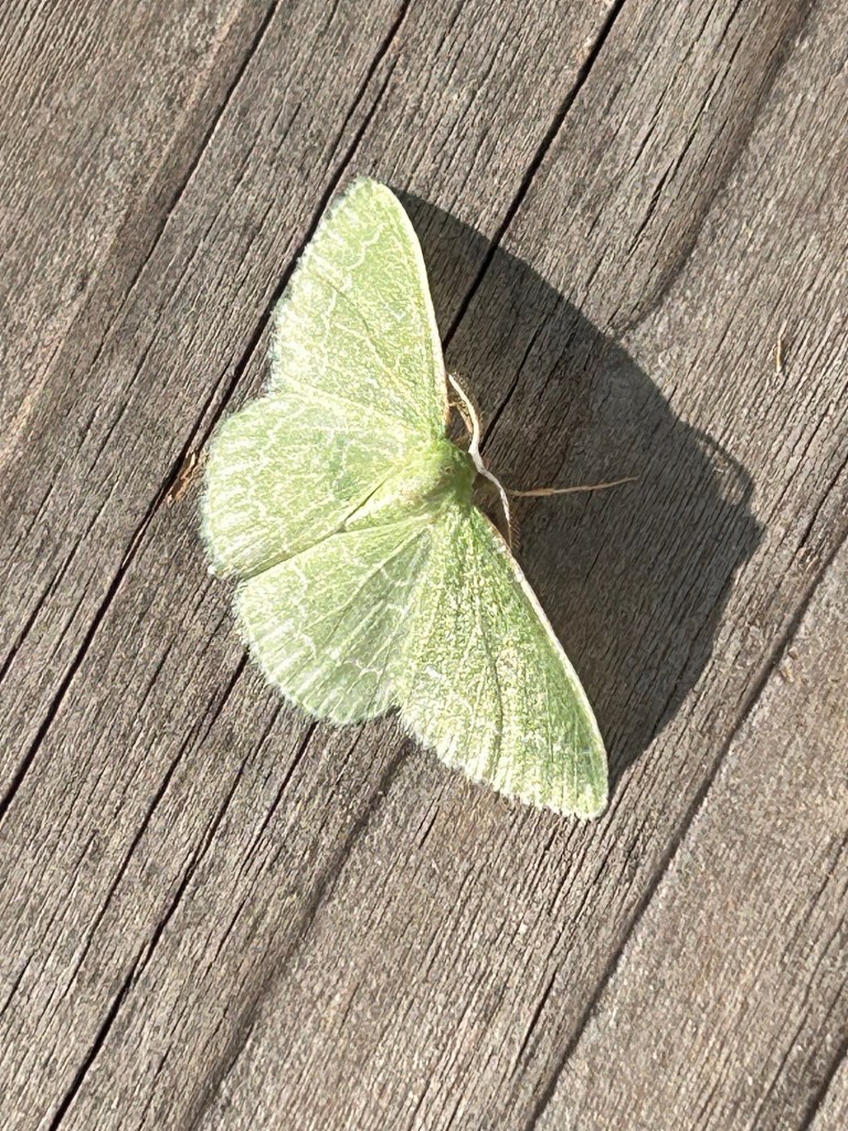
feathered lace wings pose
delicate friend uncamouflaged
wonder in plain sight
wonder by Angie Quantrell
Yakima Valley, WA

feathered lace wings pose
delicate friend uncamouflaged
wonder in plain sight
wonder by Angie Quantrell
Yakima Valley, WA
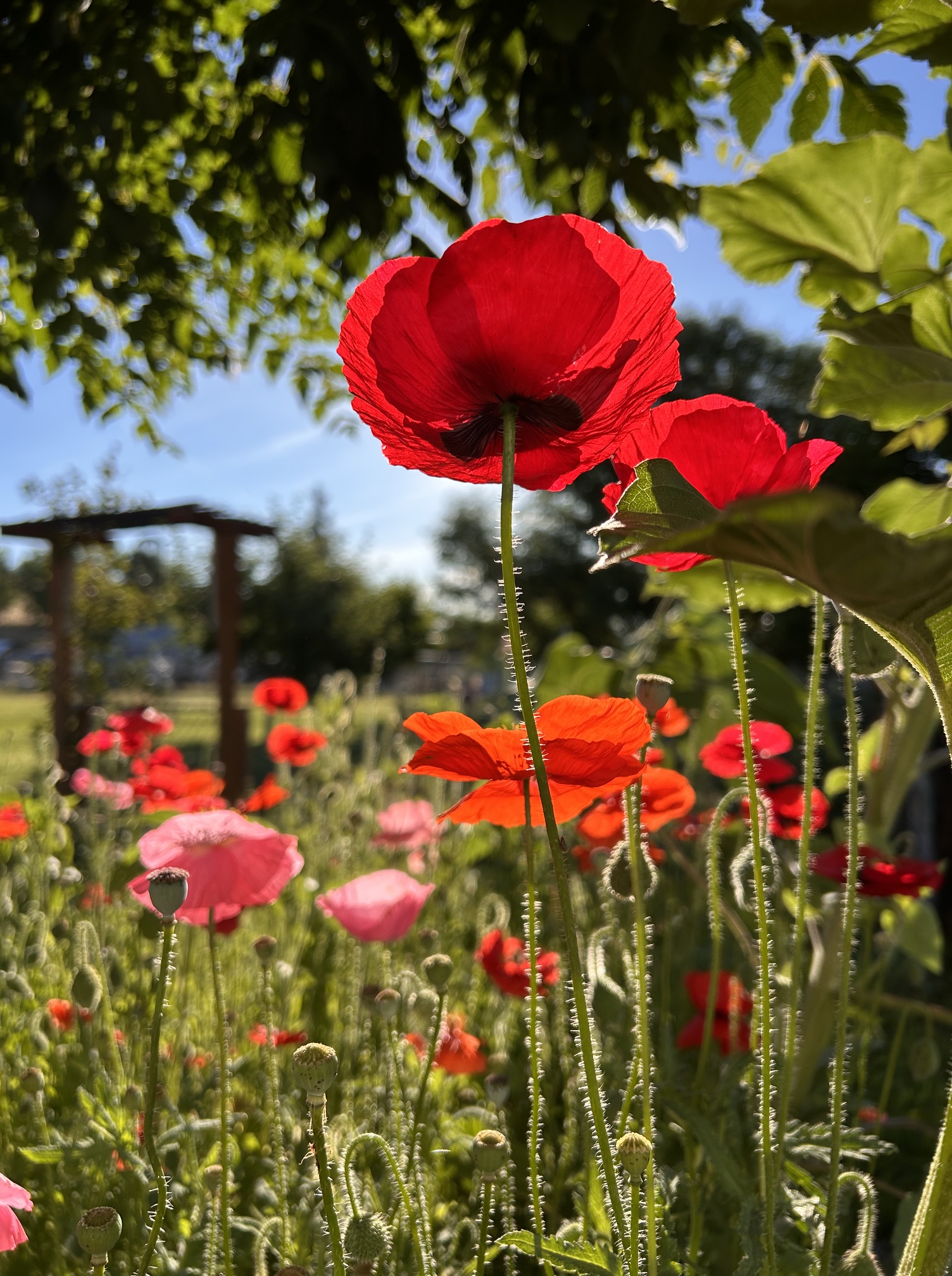
summer fire flames
explode across the landscape
burning with beauty
fire by Angie Quantrell
my summer garden, Yakima Valley
Summer Garden, Yakima Valley

Yakima Valley, WA

rain spheres land
paint themselves green
life nuggets
orbs unite
assume purpose
refresh all
life nuggets by Angie Quantrell
Olympic Peninsula, WA
you crouch and mimic
wearing the perfect bright hue
artfully hidden
mimic by Angie Quantrell
Yakima Valley

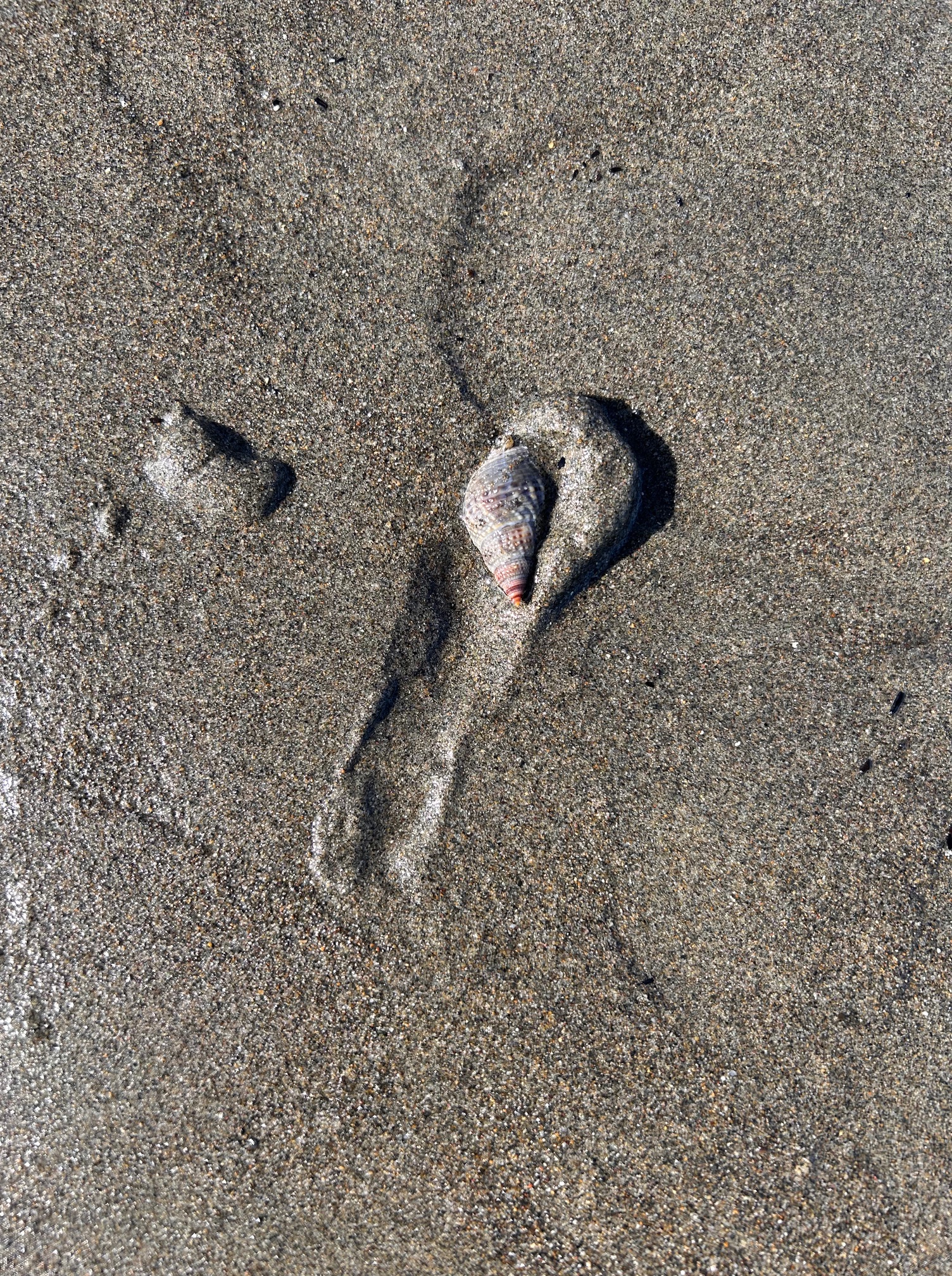
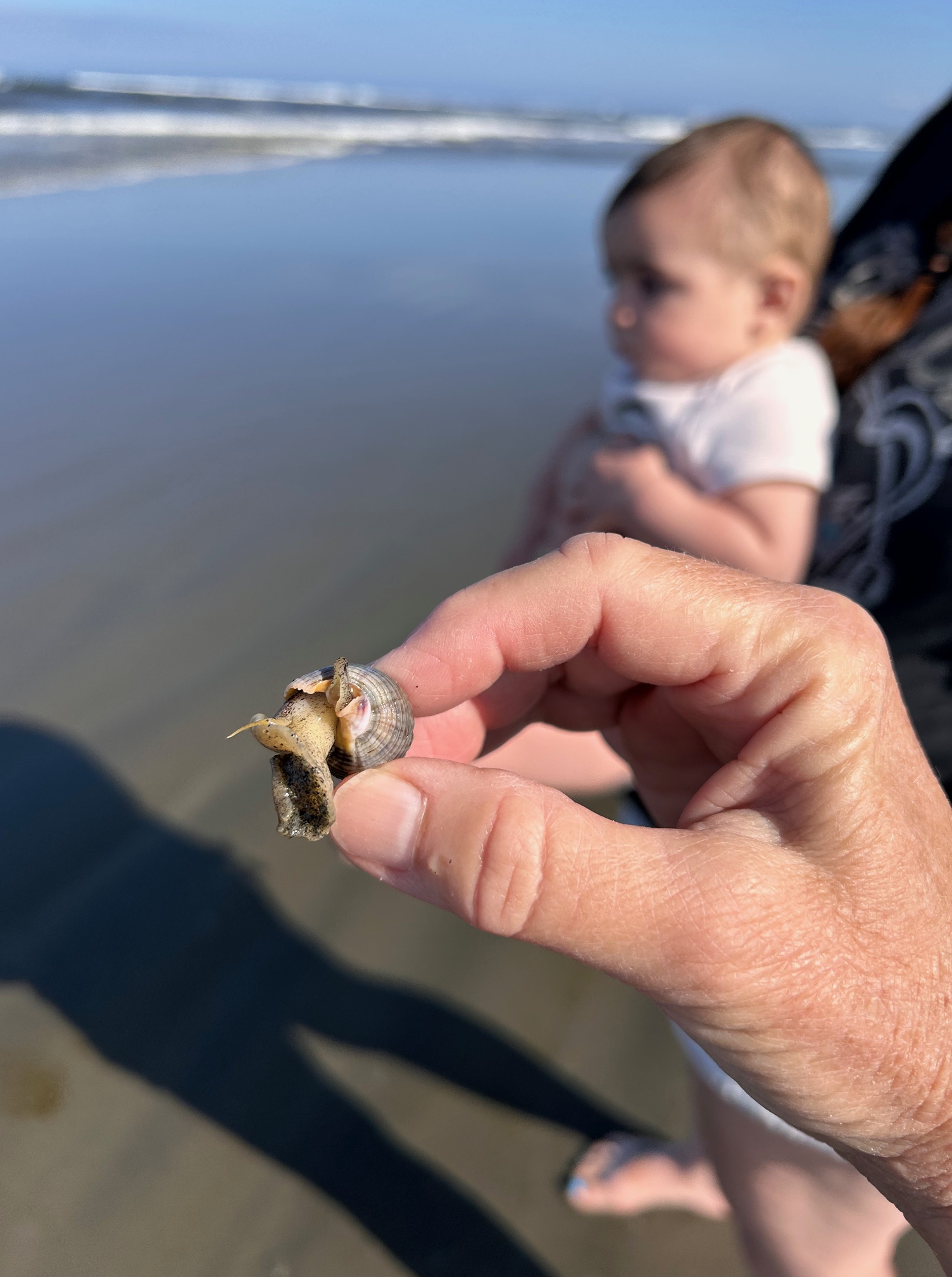
just a shell.
but winding a trail?
it’s alive!
just a shell by Angie Quantrell
Ocean Shores, WA

garden globe beckons
buzzy visitors zoom close
insect flower world
flower world by Angie Quantrell
Yakima Valley

rehomed sage settled
thanks for bringing a plus one
handsome garden friend
plus one by Angie Quantrell


miniscule mushroom
dwarfed beneath zinnia seedlings
translucent wonder
translucent by Angie Quantrell

PS Never mind the earwig laced leaves. It’s been troublesome year with those voracious eaters.
