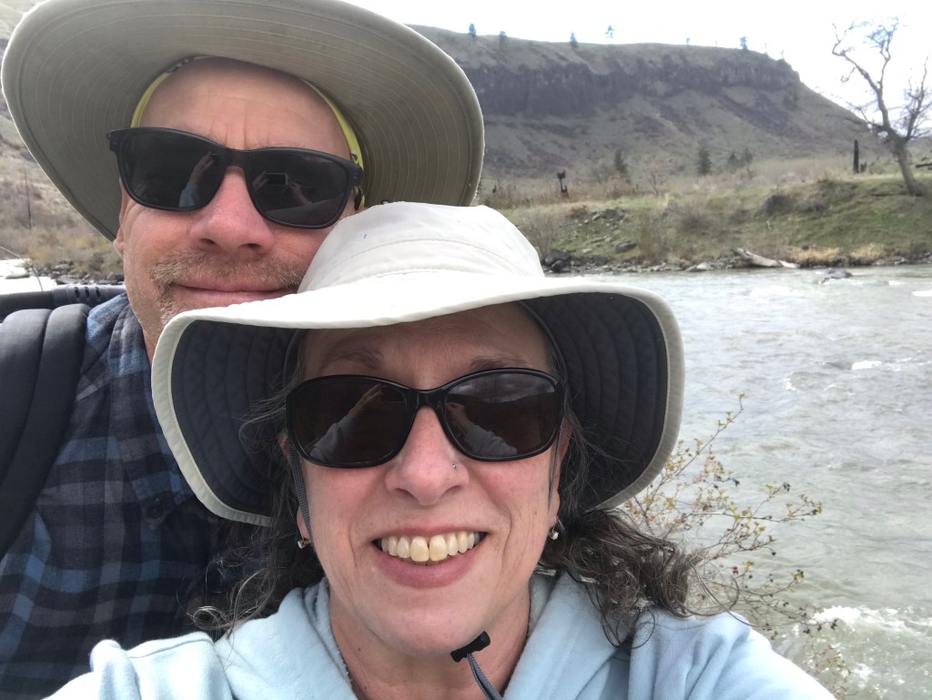
Last week my honey took me rock hunting. I have a thing about rocks. We thought we would explore a dirt road up in the mountains, one that required the 4×4. Packed a picnic lunch and off we went. According to what we “thought” our daughter had said (a regular off-roader), the road ended up in Cowiche.
It was a hot but gorgeous day. So very dry everywhere (except where the wildland firefighters had just finished putting out a fire-we met them on their way back down the one-lane dirt road!). The desert needs some rain!
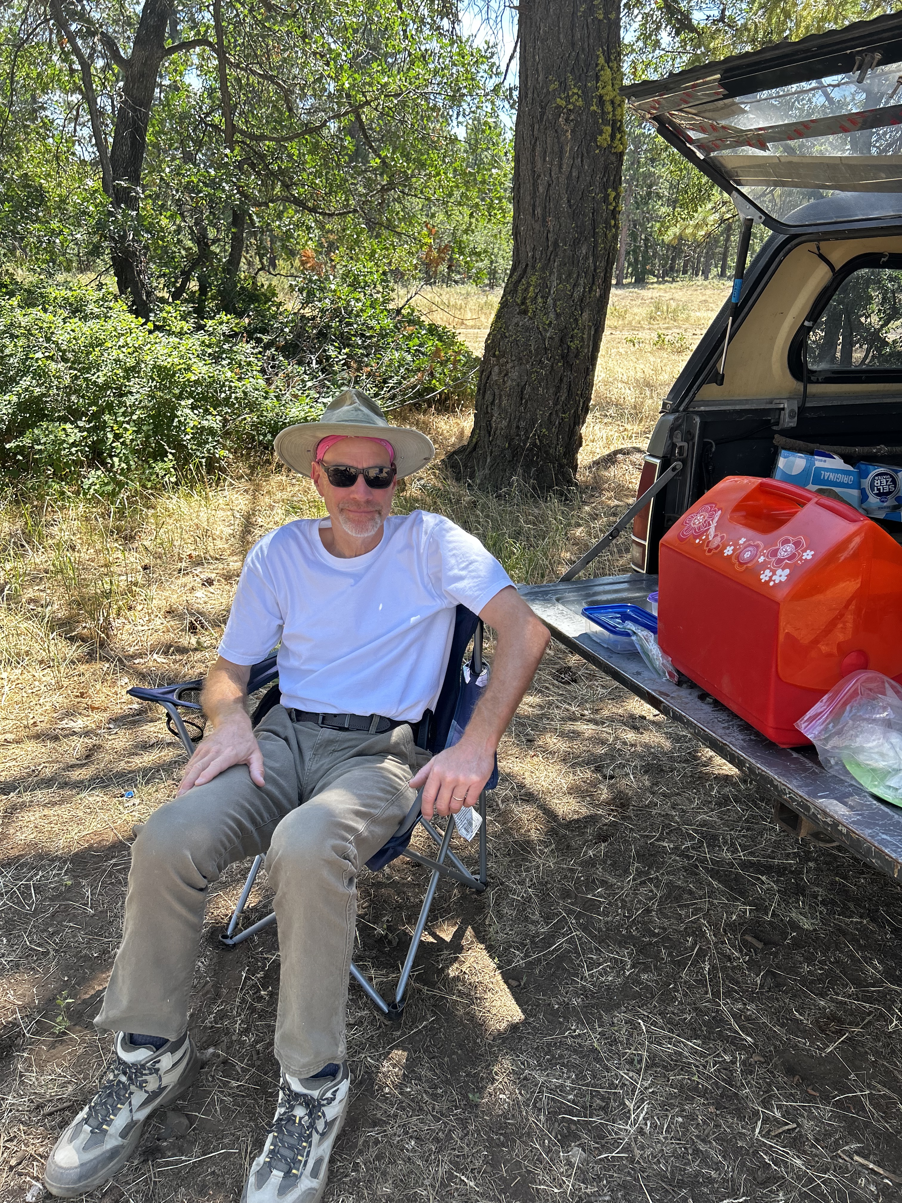
We stopped off for our picnic lunch in the shade of huge pine trees. We “thought” we were well on our way to the other end of this road. Hahahahahaha The joke was on us!
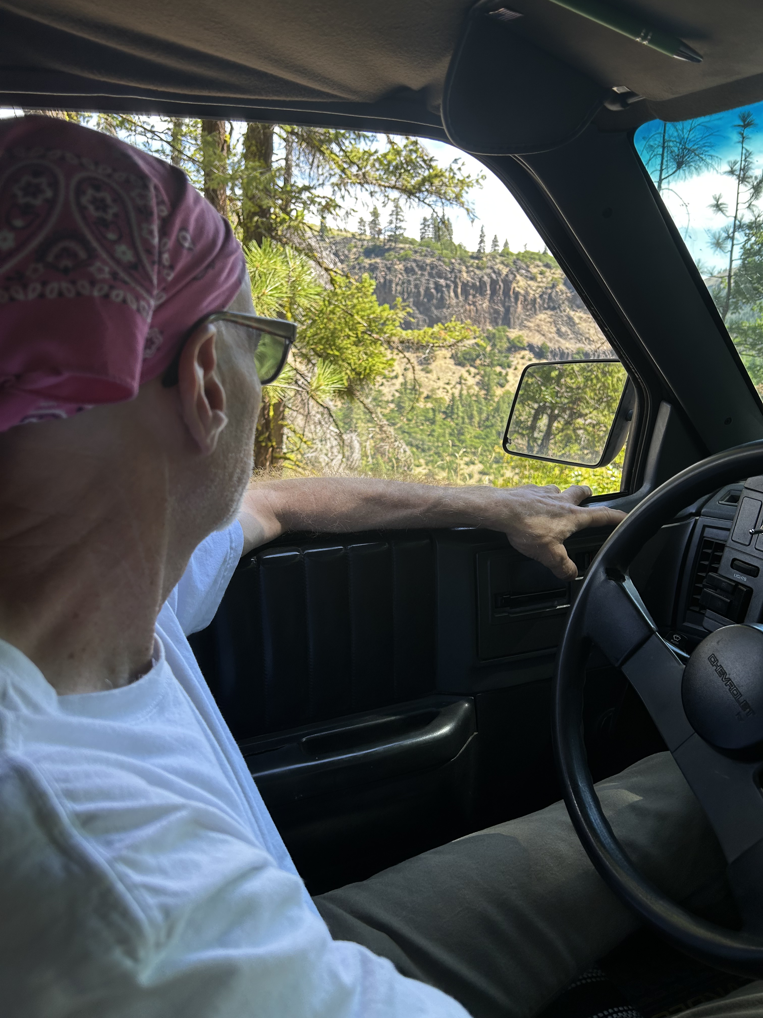
The dirt road, complete with rocks, potholes, and 4×4 climbing options, kept going up. We’d hit the top of a hill, think we were as high as we were going, have beautiful views across the top of the hill, dip down for 100 feet, then head straight back up. When we saw Mt. Rainier off in the distance, we knew our expectations were not correct.
So. Maybe the road ended up out in Tampico, way out west from where we live. But there was no sign of any going down. Just up, up, west, up, up, up. We resigned ourselves to get home really late.
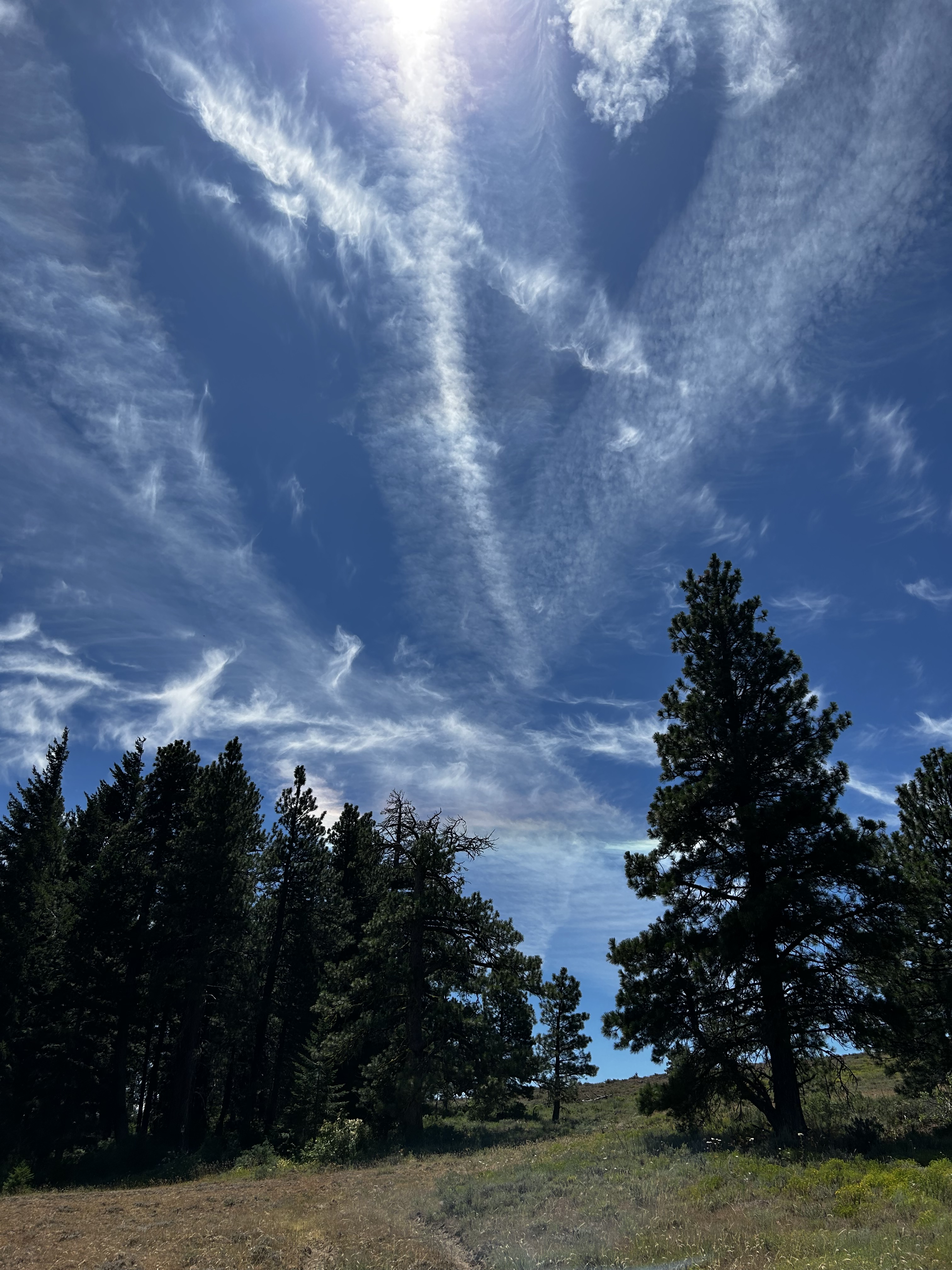
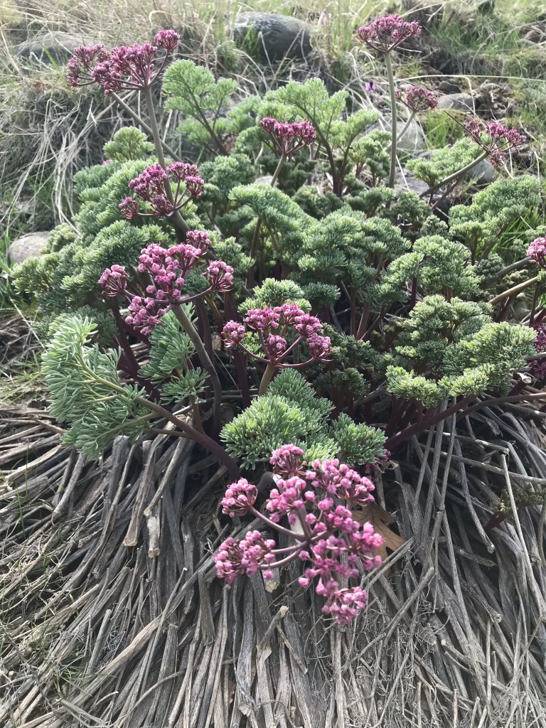
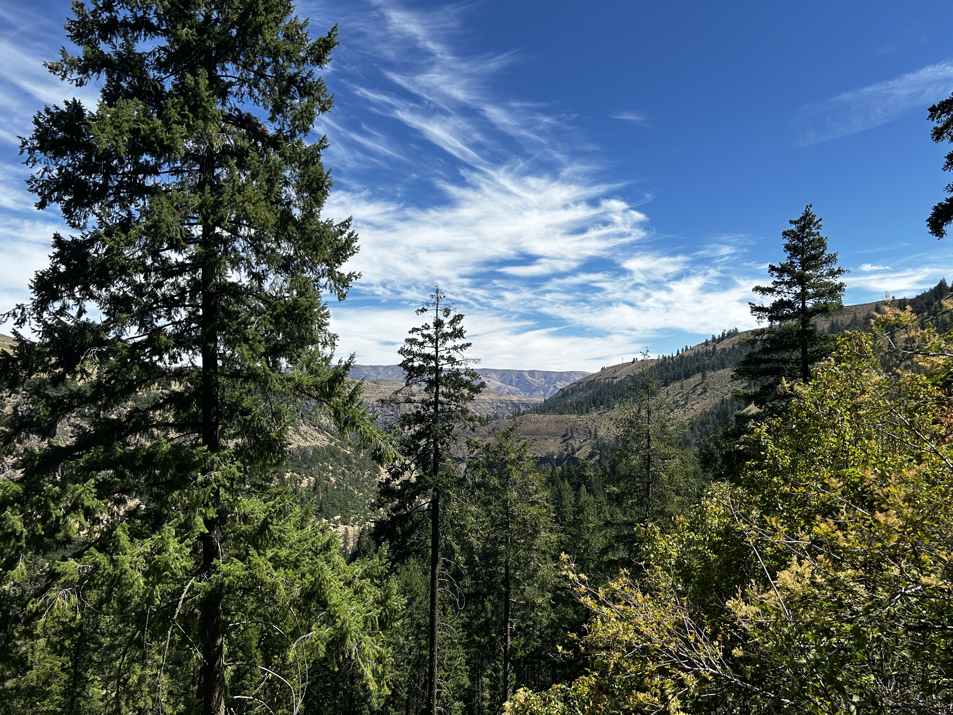
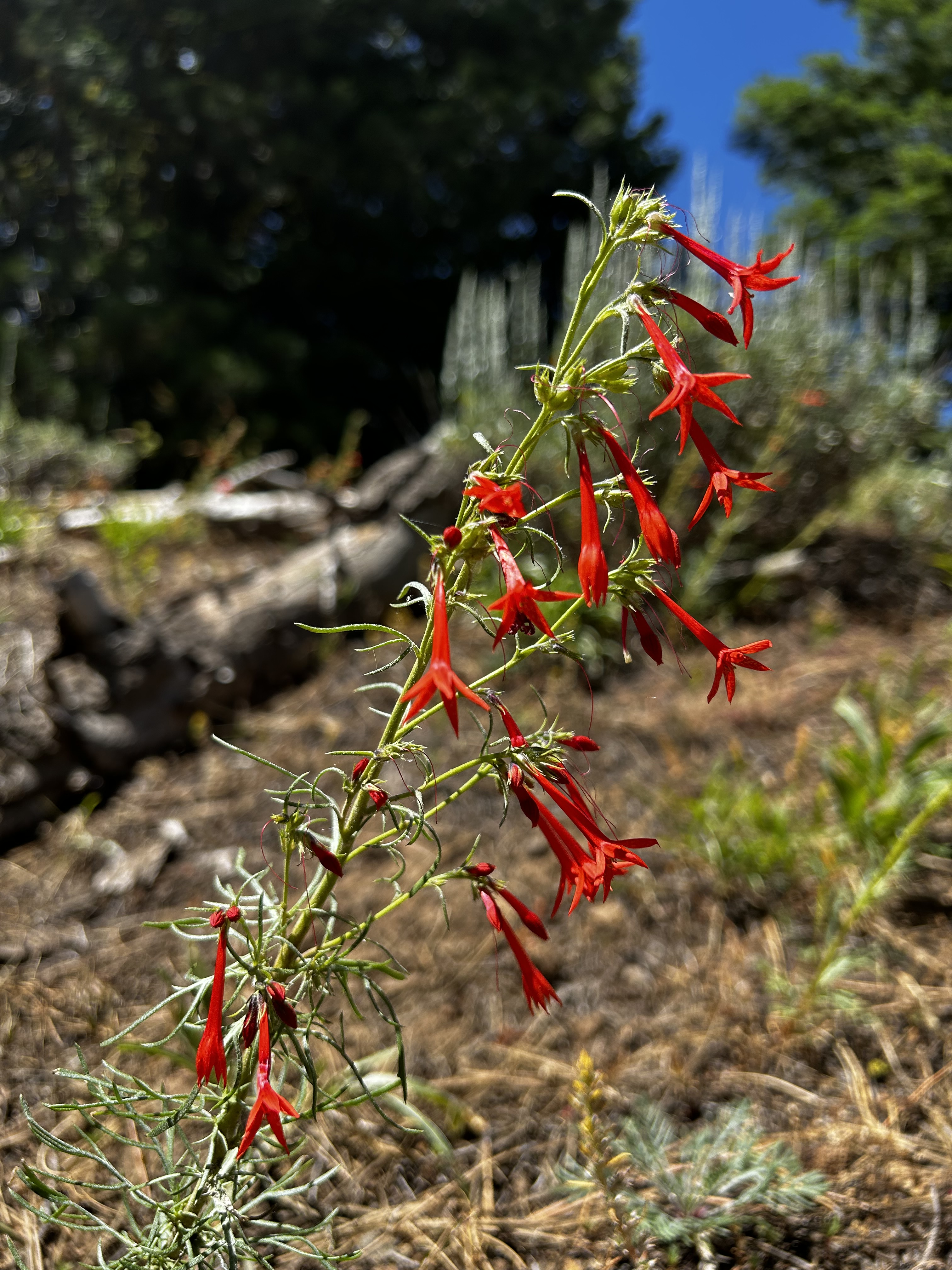
Regardless of the long distance, heat, and dust, we had exceptional views. For a hot day in July, I was amazed at how many wildflowers were still in bloom.
And good thing for us, there were two cell towers! Way out in the middle of nothing. I finally decided to just call the daughter. “Where are we going to come out? Where are we?”
And after some thinking, she finally figured it out-just as we pulled off to look out over a valley with what we suspected was Rimrock lake, AND Mt. Rainier, she said, “Oh, that’s probably Jump Off Joe. There should be an old building you can go in.”
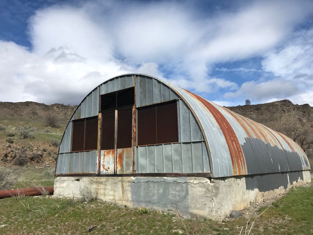
I looked right, and there it was, a bit further up the road on a different rock spur. Wow! Jump Off Joe (named for obviously sad reasons) is an old fire lookout tower. Pretty creaky if you go inside, and I was walking careful! But the views are fantastic!
Note: I googled this once we got home, and it is listed as Jumpoff Lookout. You can find it here: https://www.wta.org/go-hiking/hikes/jumpoff-joe-lookout
Also. We did not hike it. We thought we were driving a through road. Nope. We had to turn around and drive back down, between 12-13 miles from Highway 12. The hike is only 10 miles RT, but also. You have to work it to finish that hike! The only other people we saw were the firefighters, dirt bikers, and a group of 8 women driving their 8 Subarus on adventure (the guest book signature said that). We figured it out as they flew past us kicking up clouds of fine dust.
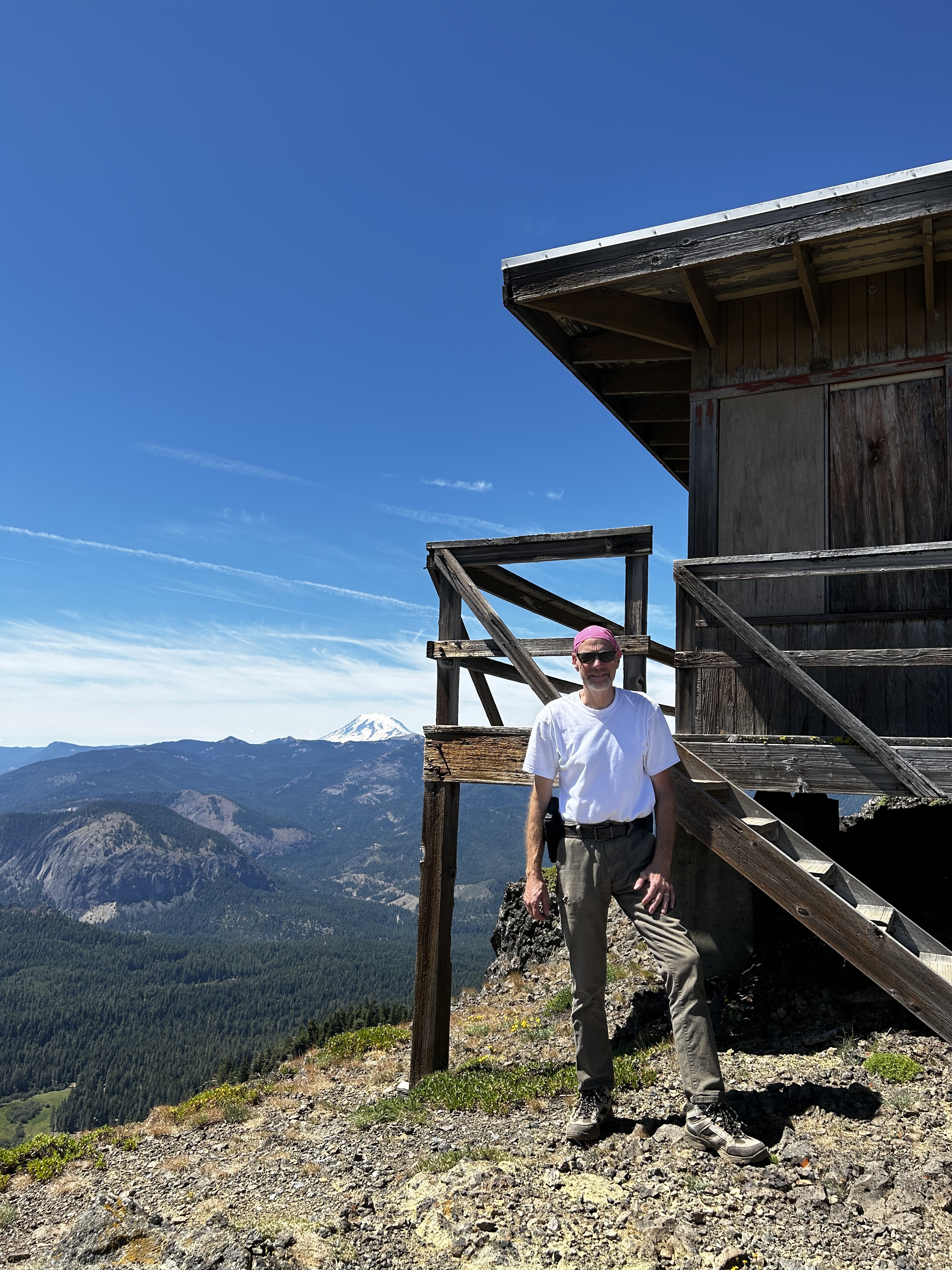
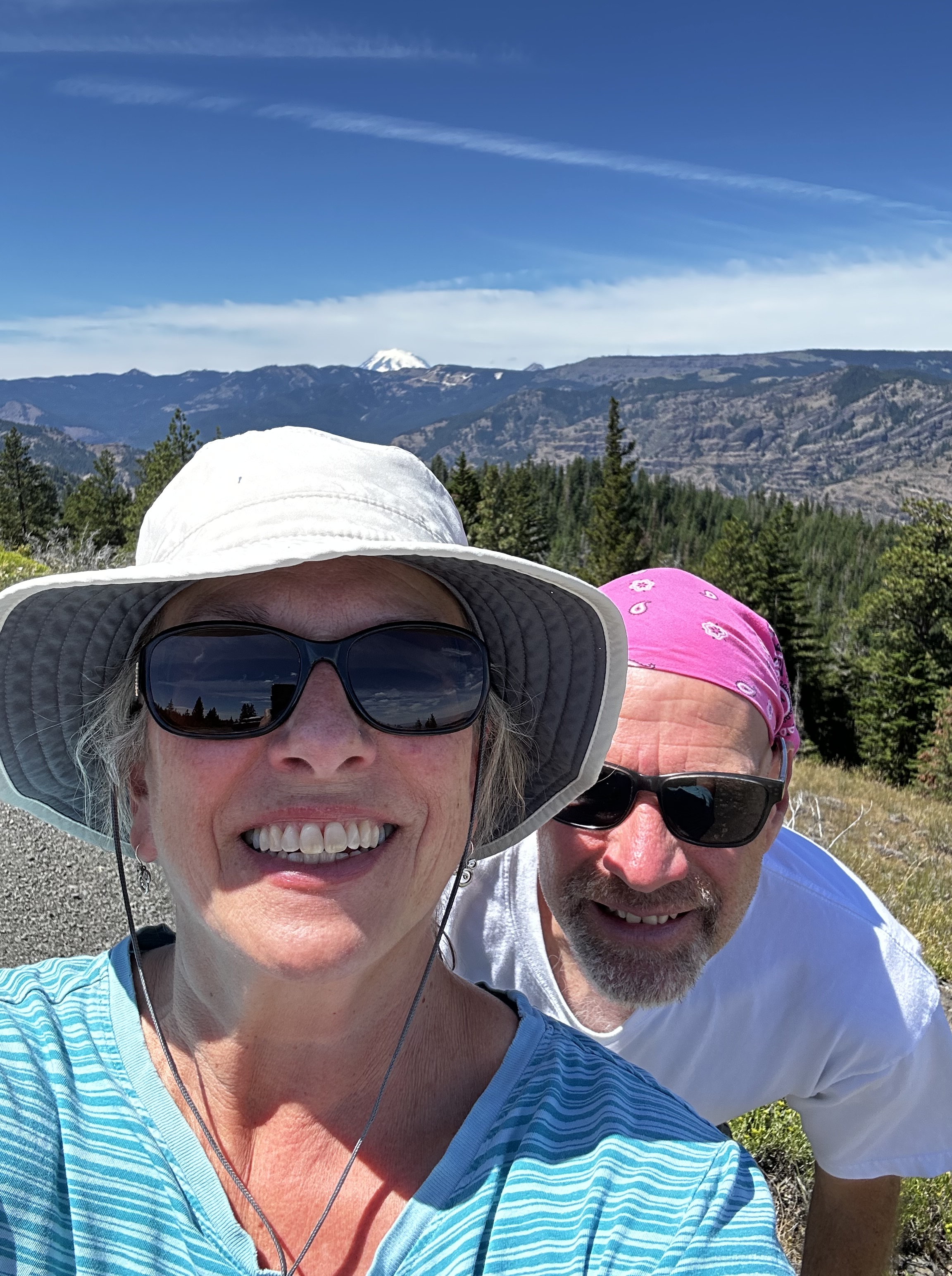
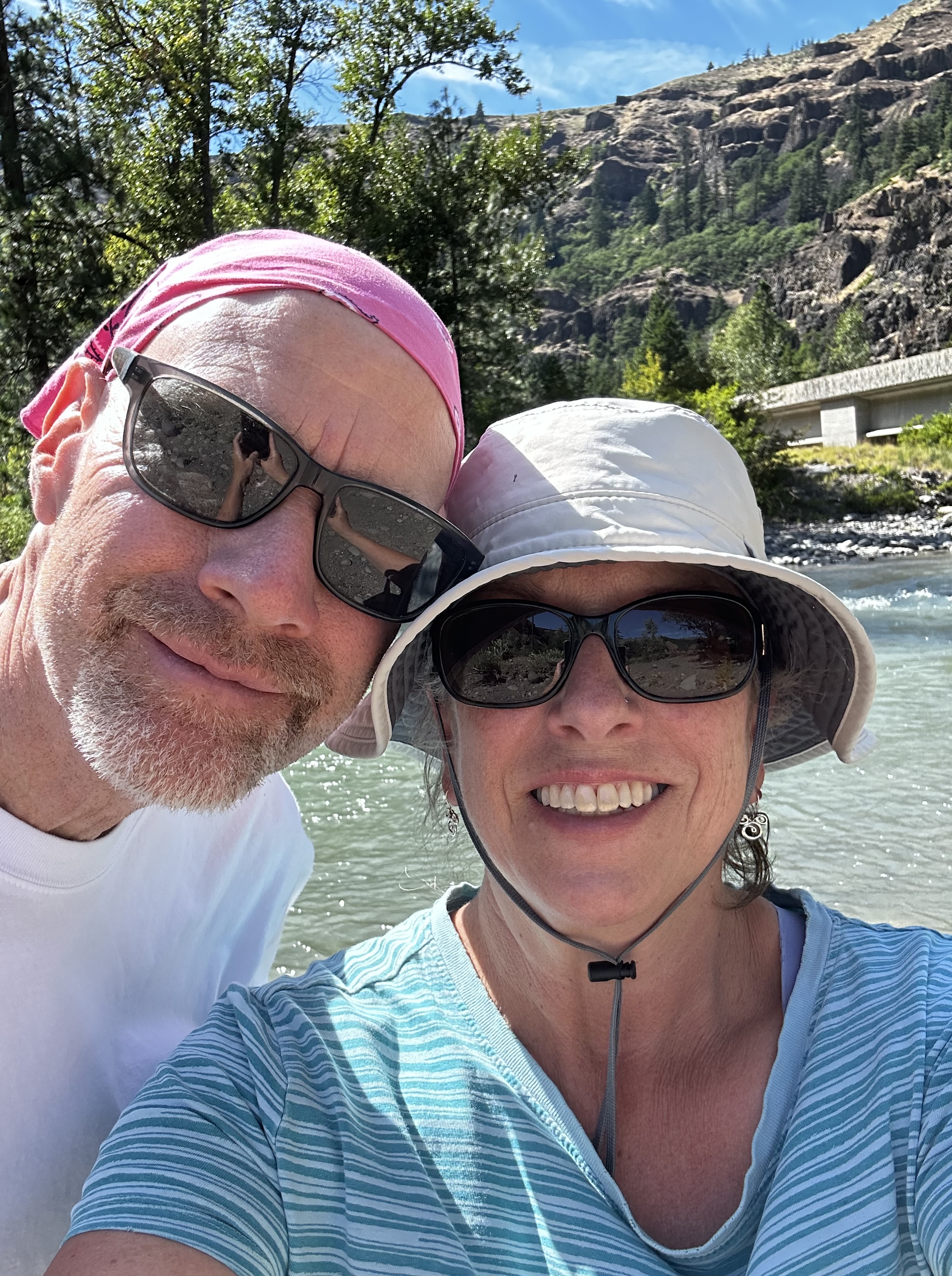
Look at that view, both the handsome guy and Mt. Rainier. Just beyond the lookout is a very steep drop-off. Definitely keep track of small children in this area.
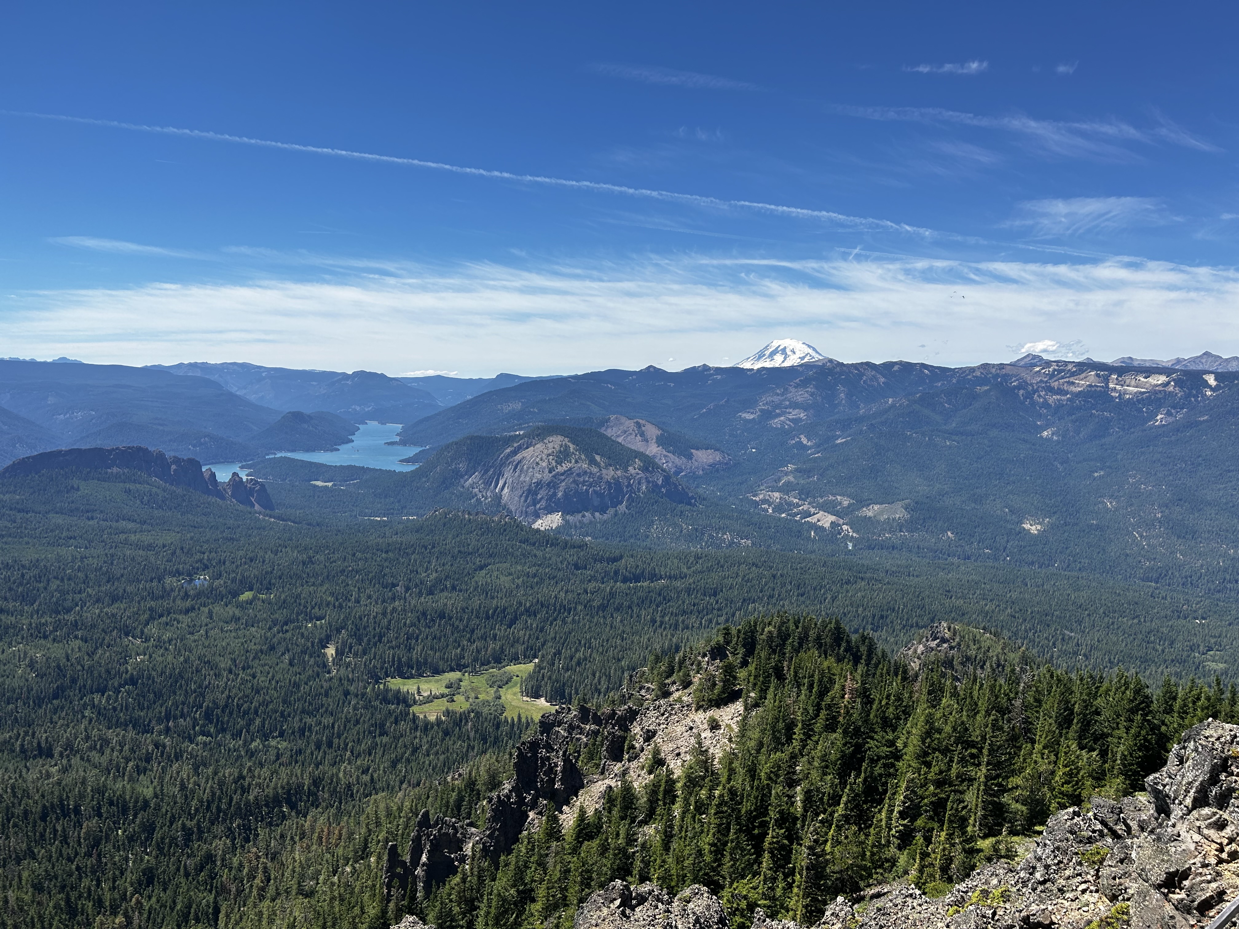
Rimrock Lake and Mt. Rainier. No wonder the mountain kept getting so close! This is not Cowiche OR Tampico.
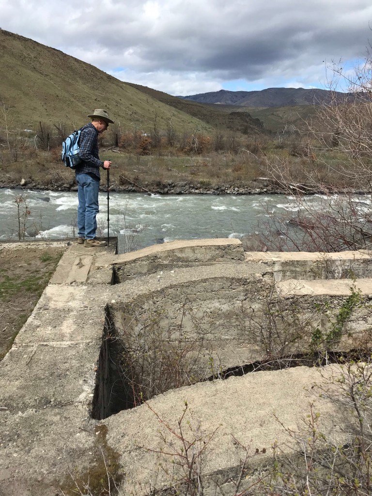
It took us about an hour and a half to drive back down the road, using first and second gear. But we stopped at the Tieton River so I could stand in the cool water. Ahhhh.
Next time we go rock hunting, I will talk with Chelsie first. Just to make sure.